Te Puke Area, Te Puke Postcode(3182) & Map in Te Puke
Te Puke Area, Te Puke Postcode(3182) & Map in Te Puke, Western Bay of Plenty District, New Zealand
Te Puke, Western Bay of Plenty District, New Zealand
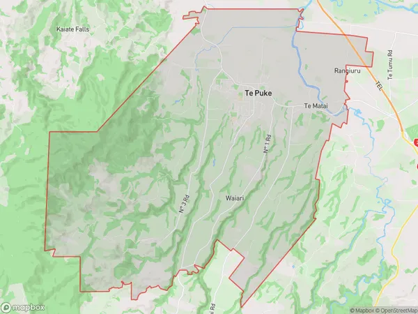
Te Puke Area (estimated)
141.6 square kilometersTe Puke Population (estimated)
12537 people live in Te Puke, Bay of Plenty, NZTe Puke Suburb Area Map (Polygon)

Te Puke Introduction
Te Puke is a city in the Bay of Plenty region of New Zealand, known for its vibrant art scene, historic buildings, and popular beaches. It is also home to the largest grapefruit in the world.Region
Major City
Suburb Name
Te PukeOther Name(s)
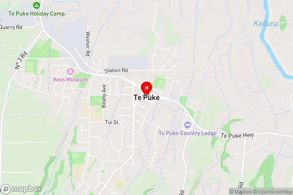
Manoeka, Muirs Reef, Te Matai, WaiariTe Puke Area Map (Street)

Local Authority
Western Bay of Plenty DistrictFull Address
Te Puke, Western Bay of Plenty District, New ZealandAddress Type
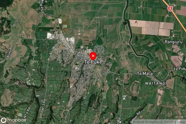
Suburb in Town Te PukeTe Puke Suburb Map (Satellite)

Country
Main Region in AU
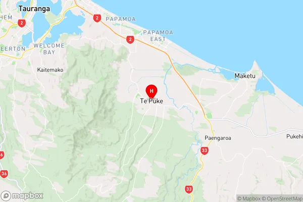
Bay of PlentyTe Puke Region Map

Coordinates
-37.7853294,176.3270238 (latitude/longitude)Distances
The distance from Te Puke, Te Puke, Western Bay of Plenty District to NZ Top 10 Cities