Te Pangu Bay Area, Te Pangu Bay Postcode & Map in Te Pangu Bay
Te Pangu Bay Area, Te Pangu Bay Postcode & Map in Te Pangu Bay, Marlborough District, New Zealand
Te Pangu Bay, Marlborough District, New Zealand
Te Pangu Bay Area (estimated)
2.2 square kilometersTe Pangu Bay Population (estimated)
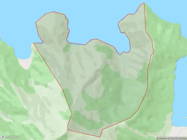
1 people live in Te Pangu Bay, Marlborough, NZTe Pangu Bay Suburb Area Map (Polygon)
Te Pangu Bay Introduction
Te Pangu Bay is a picturesque beach located in Picton, Marlborough, New Zealand. It is known for its crystal-clear waters, stunning sunsets, and beautiful coastal scenery. The bay is a popular spot for swimming, kayaking, and fishing, and it is also home to a variety of wildlife, including seals, penguins, and dolphins. Visitors can enjoy a walk along the beach, explore the nearby forests, or visit the nearby Picton Ferry Terminal to catch a ferry to other parts of the Marlborough region.Region
Major City
Suburb Name
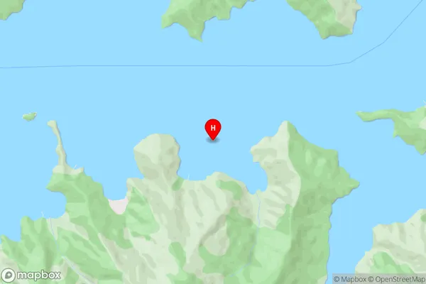
Te Pangu BayTe Pangu Bay Area Map (Street)
Local Authority
Marlborough DistrictFull Address
Te Pangu Bay, Marlborough District, New ZealandAddress Type
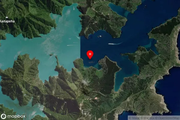
Locality in Town PictonTe Pangu Bay Suburb Map (Satellite)
Country
Main Region in AU
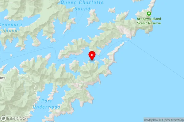
MarlboroughTe Pangu Bay Region Map
Coordinates
-41.2463565,174.2373638 (latitude/longitude)Distances
The distance from Te Pangu Bay, Picton, Marlborough District to NZ Top 10 Cities