Te Ore Ore Area, Te Ore Ore Postcode(5871) & Map in Te Ore Ore
Te Ore Ore Area, Te Ore Ore Postcode(5871) & Map in Te Ore Ore, Masterton District, New Zealand
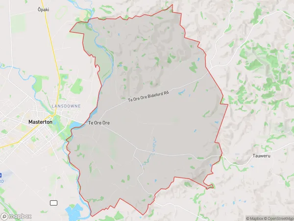
Te Ore Ore, Masterton District, New Zealand
Te Ore Ore Area (estimated)
78.5 square kilometersTe Ore Ore Population (estimated)
840 people live in Te Ore Ore, Wellington, NZTe Ore Ore Suburb Area Map (Polygon)
Te Ore Ore Introduction
Te Ore Ore is a small rural settlement located in the Wairarapa region of New Zealand's North Island. It is situated approximately 50 kilometers south of Masterton and 120 kilometers north of Wellington, the country's capital city. The settlement has a population of around 100 people and is known for its scenic rural surroundings, including rolling hills, farmland, and picturesque waterways. Te Ore Ore is also home to a historic church and a small community hall. The area is popular with outdoor enthusiasts and nature lovers, who enjoy hiking, cycling, and fishing in the nearby forests and rivers.Region
Major City
Suburb Name
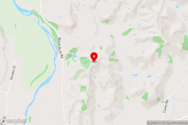
Te Ore OreTe Ore Ore Area Map (Street)
Local Authority
Masterton DistrictFull Address
Te Ore Ore, Masterton District, New ZealandAddress Type
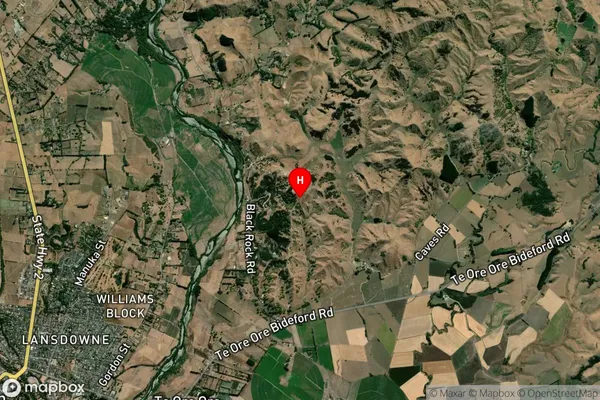
Suburb in Town MastertonTe Ore Ore Suburb Map (Satellite)
Country
Main Region in AU
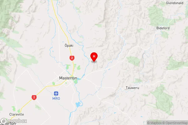
WellingtonTe Ore Ore Region Map
Coordinates
-40.92325,175.716444 (latitude/longitude)Distances
The distance from Te Ore Ore, Masterton, Masterton District to NZ Top 10 Cities