Te Karaka Area, Te Karaka Postcode(4022) & Map in Te Karaka
Te Karaka Area, Te Karaka Postcode(4022) & Map in Te Karaka, Gisborne District, New Zealand
Te Karaka, Gisborne District, New Zealand
Te Karaka Postcodes
Te Karaka Area (estimated)
200.1 square kilometersTe Karaka Population (estimated)
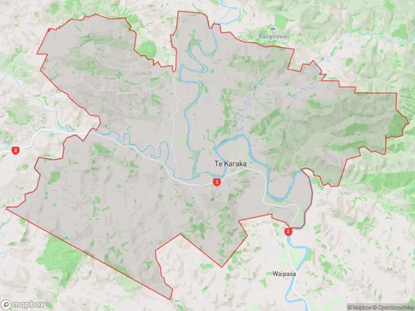
902 people live in Te Karaka, Bay of Plenty, NZTe Karaka Suburb Area Map (Polygon)
Te Karaka Introduction
Te Karaka, also known as Mount Maunganui, is a prominent volcanic cone located in the Bay of Plenty, New Zealand. It is the second-most populous city in the Bay of Plenty region and is renowned for its stunning beaches, vibrant culture, and outdoor activities. The mountain is a popular destination for tourists and locals alike, offering breathtaking views, hiking trails, and a thriving community.Region
Major City
Suburb Name
Te KarakaOther Name(s)
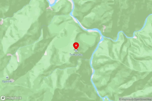
PuhaTe Karaka Area Map (Street)
Local Authority
Gisborne DistrictFull Address
Te Karaka, Gisborne District, New ZealandAddress Type
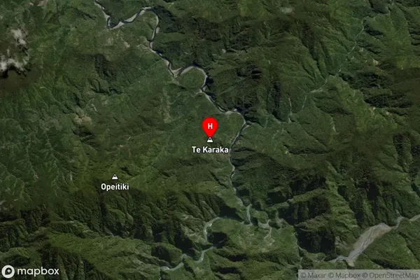
Suburb in Town Te KarakaTe Karaka Suburb Map (Satellite)
Country
Main Region in AU
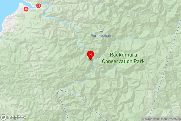
Bay of PlentyTe Karaka Region Map
Coordinates
-37.961127,177.748939 (latitude/longitude)Distances
The distance from Te Karaka, Te Karaka, Gisborne District to NZ Top 10 Cities