Te Hapara Area, Te Hapara Postcode(4010) & Map in Te Hapara
Te Hapara Area, Te Hapara Postcode(4010) & Map in Te Hapara, Gisborne District, New Zealand
Te Hapara, Gisborne District, New Zealand
Te Hapara Postcodes
Te Hapara Area (estimated)
4.2 square kilometersTe Hapara Population (estimated)
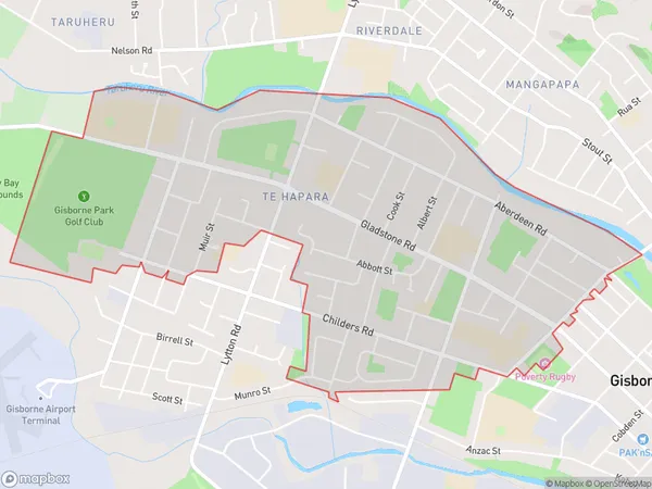
6985 people live in Te Hapara, Gisborne, NZTe Hapara Suburb Area Map (Polygon)
Te Hapara Introduction
Te Hapara is a small rural community located in the Gisborne region of New Zealand. It is known for its beautiful natural surroundings, including the Te Hapara Wetlands and the Te Hapara River. The community has a strong Maori heritage and is home to a number of historic buildings and landmarks. It is also a popular destination for outdoor enthusiasts, with many opportunities for hiking, cycling, and fishing.Region
Major City
Suburb Name
Te Hapara (Maori Name: Te Hāpara)Other Name(s)
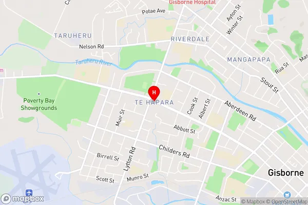
TaruheruTe Hapara Area Map (Street)
Local Authority
Gisborne DistrictFull Address
Te Hapara, Gisborne District, New ZealandAddress Type
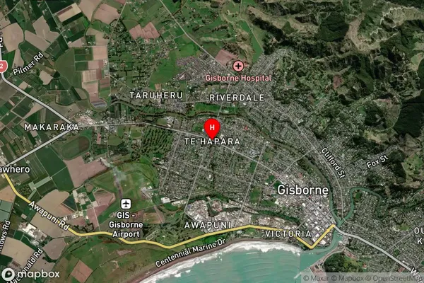
Suburb in Town GisborneTe Hapara Suburb Map (Satellite)
Country
Main Region in AU
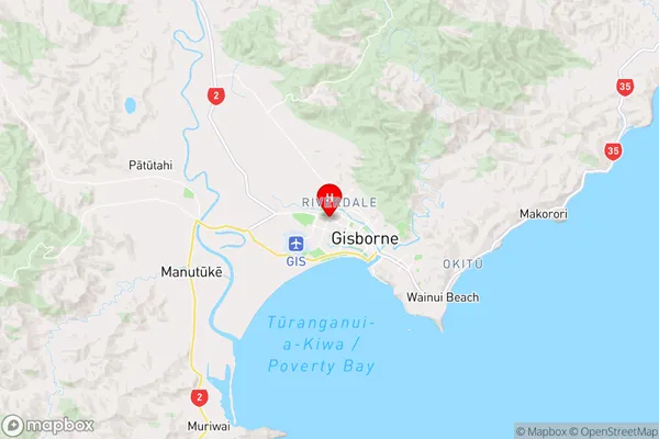
GisborneTe Hapara Region Map
Coordinates
-38.6521493,177.9986161 (latitude/longitude)Distances
The distance from Te Hapara, Gisborne, Gisborne District to NZ Top 10 Cities