Tauriko Area, Tauriko Postcode(3171) & Map in Tauriko
Tauriko Area, Tauriko Postcode(3171) & Map in Tauriko, Tauranga City, New Zealand
Tauriko, Tauranga City, New Zealand
Tauriko Area (estimated)
12.2 square kilometersTauriko Population (estimated)
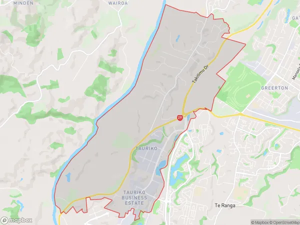
1454 people live in Tauriko, Tauranga, NZTauriko Suburb Area Map (Polygon)
Tauriko Introduction
Tauriko is a small city in the Bay of Plenty region of New Zealand. It is well-known for its historic buildings, including the Tauriko Village, which is a replica of a traditional Māori village. The city also has a variety of recreational facilities, including a golf course, a swimming pool, and a sports stadium. Tauriko is located on the banks of the Tauranga Harbour and is surrounded by beautiful countryside.Region
Major City
Suburb Name
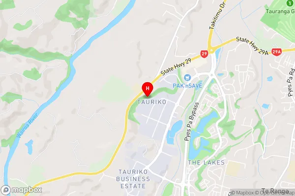
TaurikoTauriko Area Map (Street)
Local Authority
Tauranga CityFull Address
Tauriko, Tauranga City, New ZealandAddress Type
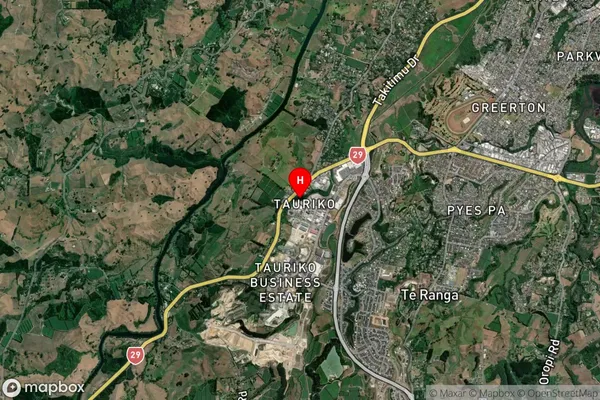
Suburb in City TaurangaTauriko Suburb Map (Satellite)
Country
Main Region in AU
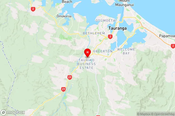
Bay of PlentyTauriko Region Map
Coordinates
-37.7417941,176.0967937 (latitude/longitude)Distances
The distance from Tauriko, Tauranga, Tauranga City to NZ Top 10 Cities