Tapora Area, Tapora Postcode(1148) & Map in Tapora
Tapora Area, Tapora Postcode(1148) & Map in Tapora, Auckland, New Zealand
Tapora, Auckland, New Zealand
Tapora Postcodes
Tapora Area (estimated)
-1.2 square kilometersTapora Population (estimated)
214 people live in Tapora, Rodney, NZTapora Suburb Area Map (Polygon)
Not available for nowTapora Introduction
Tapora is a small rural community located in the Rodney District of Auckland, New Zealand. It is known for its picturesque rural setting, stunning natural landscapes, and friendly community. The area is popular with outdoor enthusiasts and nature lovers, with many walking and hiking trails, and a nearby forest reserve. The community has a primary school, a post office, and a small supermarket. Tapora is a peaceful and welcoming place to live, with a strong sense of community and a close-knit atmosphere.Region
Major City
Suburb Name
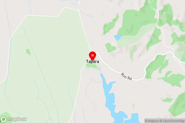
TaporaTapora Area Map (Street)
Local Authority
AucklandFull Address
Tapora, Auckland, New ZealandAddress Type
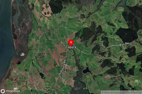
Locality in Major Locality TaporaTapora Suburb Map (Satellite)
Country
Main Region in AU
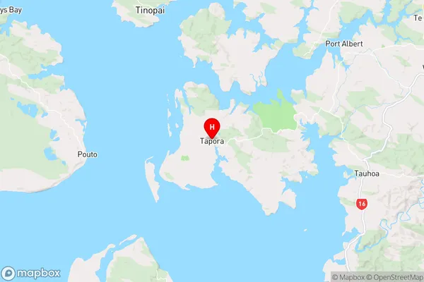
AucklandTapora Region Map
Coordinates
-36.3523611,174.3022535 (latitude/longitude)Distances
The distance from Tapora, Tapora, Auckland to NZ Top 10 Cities