Tangowahine Area, Tangowahine Postcode & Map in Tangowahine
Tangowahine Area, Tangowahine Postcode & Map in Tangowahine, Kaipara District, New Zealand
Tangowahine, Kaipara District, New Zealand
Tangowahine Area (estimated)
167.6 square kilometersTangowahine Population (estimated)
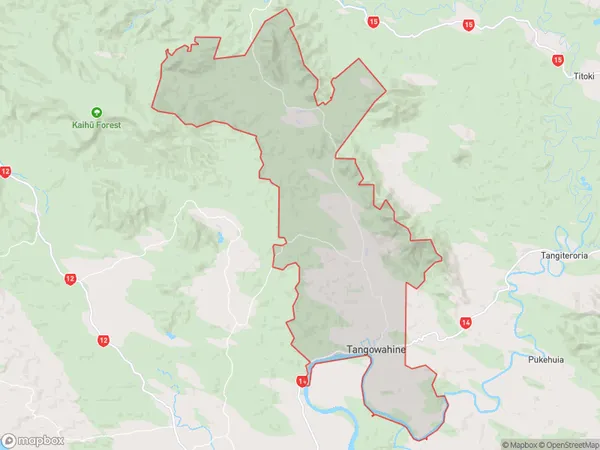
349 people live in Tangowahine, Northland, NZTangowahine Suburb Area Map (Polygon)
Tangowahine Introduction
Tangowahine is a small rural community in Northland, New Zealand, located on the banks of the Tangowahine River. It is known for its scenic beauty, with lush green forests and a peaceful atmosphere. The community has a primary school, a post office, and a small supermarket. It is a popular destination for outdoor activities such as hiking, fishing, and kayaking, with nearby attractions including the Tangowahine Forest Park and the Hokianga Harbour.Region
Major City
Suburb Name
TangowahineOther Name(s)
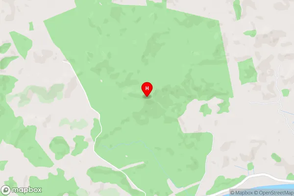
AvocaTangowahine Area Map (Street)
Local Authority
Kaipara DistrictFull Address
Tangowahine, Kaipara District, New ZealandAddress Type
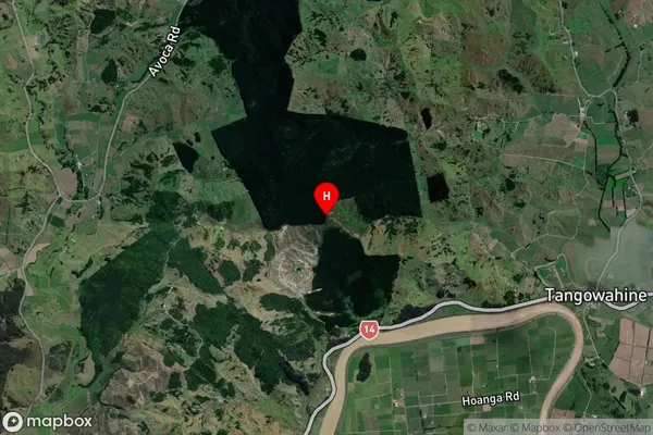
Locality in Town DargavilleTangowahine Suburb Map (Satellite)
Country
Main Region in AU
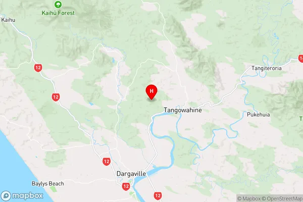
NorthlandTangowahine Region Map
Coordinates
-35.85825,173.890694 (latitude/longitude)Distances
The distance from Tangowahine, Dargaville, Kaipara District to NZ Top 10 Cities