Taneatua Area, Taneatua Postcode(3123) & Map in Taneatua
Taneatua Area, Taneatua Postcode(3123) & Map in Taneatua, Whakatane District, New Zealand
Taneatua, Whakatane District, New Zealand
Taneatua Area (estimated)
137.5 square kilometersTaneatua Population (estimated)
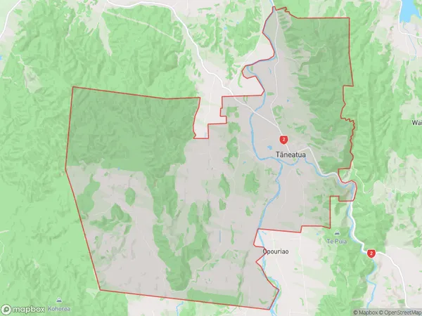
1412 people live in Taneatua, Bay of Plenty, NZTaneatua Suburb Area Map (Polygon)
Taneatua Introduction
Taneatua is a small town in the Bay of Plenty, New Zealand. It is known for its historic pa, which is a meeting place for local tribes. The town also has a beautiful beach and a popular fishing spot. Taneatua is a popular destination for tourists and has a variety of accommodation options, including hotels, motels, and holiday homes.Region
Major City
Suburb Name
Taneatua (Maori Name: Tāneatua)Other Name(s)
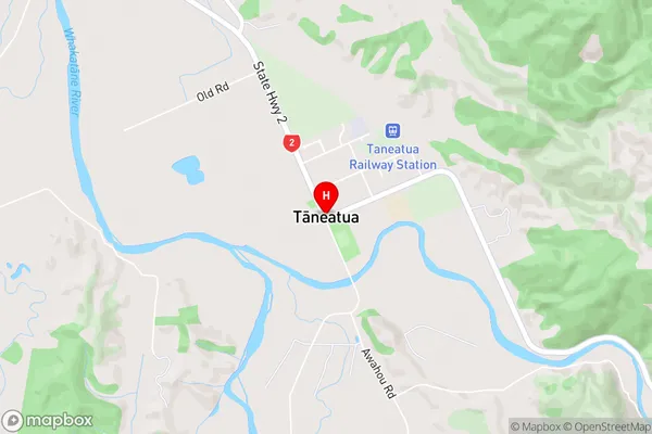
WaiouTaneatua Area Map (Street)
Local Authority
Whakatane DistrictFull Address
Taneatua, Whakatane District, New ZealandAddress Type
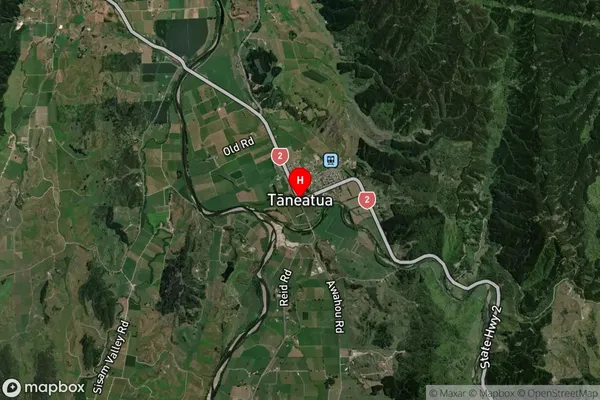
Suburb in Town TaneatuaTaneatua Suburb Map (Satellite)
Country
Main Region in AU
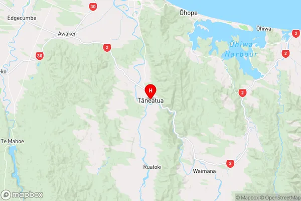
Bay of PlentyTaneatua Region Map
Coordinates
-38.0661673,177.0042976 (latitude/longitude)Distances
The distance from Taneatua, Taneatua, Whakatane District to NZ Top 10 Cities