Tamuri Area, Tamuri Postcode & Map in Tamuri
Tamuri Area, Tamuri Postcode & Map in Tamuri, Marlborough District,
Tamuri, Marlborough District,
Tamuri Area (estimated)
8.9 square kilometersTamuri Population (estimated)
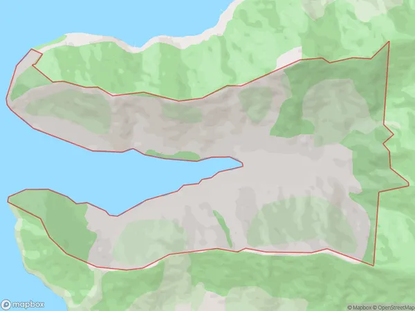
5 people live in Tamuri, , NZTamuri Suburb Area Map (Polygon)
Tamuri Introduction
Tamuri is a small bay and beach located in the Marlborough Sounds, New Zealand. It is a popular spot for swimming, kayaking, and picnicking due to its clear waters and stunning natural surroundings. The bay is also home to a small community of people who live in houses on the shore. Tamuri is accessible by boat or car and is a must-visit destination for anyone visiting the Marlborough Sounds.0Suburb Name
TamuriTamuri Area Map (Street)
Local Authority
Marlborough DistrictFull Address
Tamuri, Marlborough District,Address Type
Locality in Major Locality Marlborough SoundsTamuri Suburb Map (Satellite)
Country
Main Region in AU
Tamuri Region Map
Coordinates
0,0 (latitude/longitude)Distances
The distance from Tamuri, Marlborough Sounds, Marlborough District to NZ Top 10 Cities