Takapau Area, Takapau Postcode(4203) & Map in Takapau, Central Hawke's Bay District
Takapau Area, Takapau Postcode(4203) & Map in Takapau, Central Hawke's Bay District, Tararua District, New Zealand
Takapau, Central Hawke's Bay District, Tararua District, New Zealand
Takapau Area (estimated)
173.0 square kilometersTakapau Population (estimated)
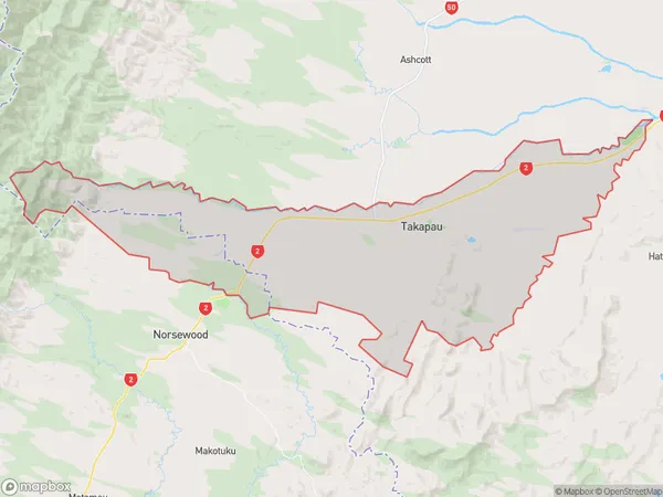
1023 people live in Takapau, Hawke's Bay, NZTakapau Suburb Area Map (Polygon)
Takapau Introduction
Takapau is a small town in Hawke's Bay, New Zealand, known for its historic buildings and scenic surroundings. It is located on the banks of the Takapau River and was once a significant farming and milling center. The town has a population of around 1,200 people and is surrounded by picturesque farmland and native forests.Region
Major City
Suburb Name
TakapauOther Name(s)
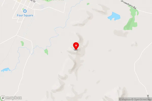
Otawhao, RakautatahiTakapau Area Map (Street)
Local Authority
Central Hawke's Bay District, Tararua DistrictFull Address
Takapau, Central Hawke's Bay District, Tararua District, New ZealandAddress Type
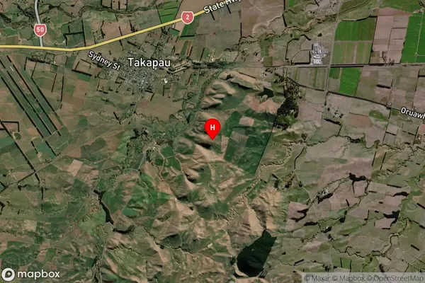
Suburb in Town TakapauTakapau Suburb Map (Satellite)
Country
Main Region in AU
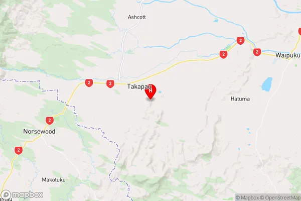
Hawke's BayTakapau Region Map
Coordinates
-40.0385,176.36575 (latitude/longitude)Distances
The distance from Takapau, Takapau, Central Hawke's Bay District, Tararua District to NZ Top 10 Cities