Takanini Area, Takanini Postcode(2112) & Map in Takanini
Takanini Area, Takanini Postcode(2112) & Map in Takanini, Auckland, New Zealand
Takanini, Auckland, New Zealand
Takanini Area (estimated)
13.9 square kilometersTakanini Population (estimated)
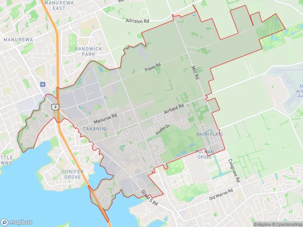
16428 people live in Takanini, Papakura, NZTakanini Suburb Area Map (Polygon)
Takanini Introduction
Takanini is a suburb of Auckland, New Zealand, with a population of around 20,000 people. It is located in the southern part of the city and is known for its peaceful atmosphere, scenic parks, and excellent transport links. The suburb is named after the Takanini River, which flows through it, and is home to a variety of residential properties, including apartments, townhouses, and detached homes. Takanini also has a number of shopping centers, restaurants, and recreational facilities, including a swimming pool and a golf course.Region
Major City
Suburb Name
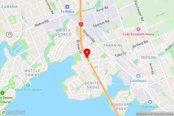
TakaniniTakanini Area Map (Street)
Local Authority
AucklandFull Address
Takanini, Auckland, New ZealandAddress Type
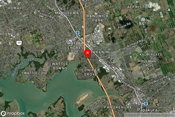
Suburb in Town TakaniniTakanini Suburb Map (Satellite)
Country
Main Region in AU
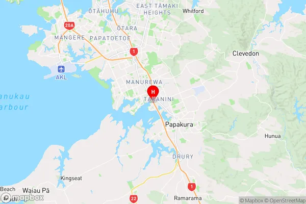
AucklandTakanini Region Map
Coordinates
-37.0432966,174.9119582 (latitude/longitude)Distances
The distance from Takanini, Takanini, Auckland to NZ Top 10 Cities