Taita Area, Taita Postcode(5011) & Map in Taita
Taita Area, Taita Postcode(5011) & Map in Taita, Lower Hutt City, New Zealand
Taita, Lower Hutt City, New Zealand
Taita Area (estimated)
5.4 square kilometersTaita Population (estimated)
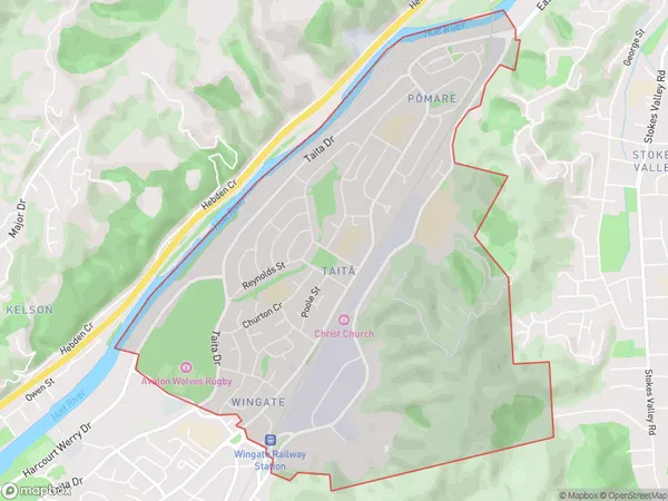
6605 people live in Taita, Lower Hutt, NZTaita Suburb Area Map (Polygon)
Taita Introduction
Taita is a suburb of Lower Hutt, Wellington, New Zealand. It is located on the southern bank of the Hutt River and is known for its vibrant community and cultural heritage. The area has a rich history, with many historic buildings and sites, including Taita Park, Taita Convent, and the Taita Library. Taita is also home to a large Pacific Island community, with many shops and restaurants serving traditional Pacific Island cuisine.Region
Major City
Suburb Name
Taita (Maori Name: Taitā)Other Name(s)
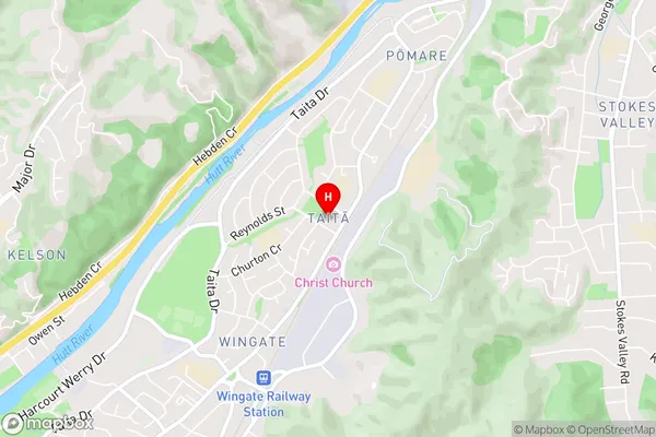
PomareTaita Area Map (Street)
Local Authority
Lower Hutt CityFull Address
Taita, Lower Hutt City, New ZealandAddress Type
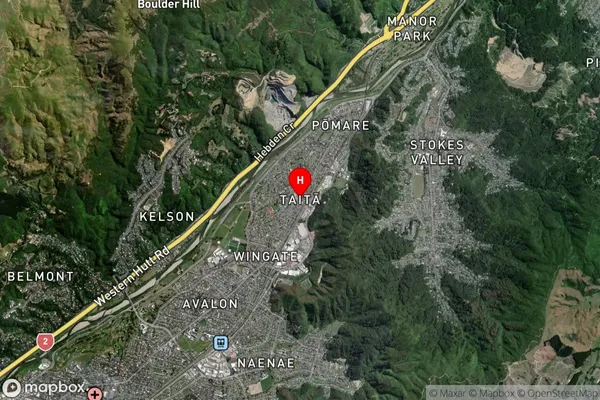
Suburb in City Lower HuttTaita Suburb Map (Satellite)
Country
Main Region in AU
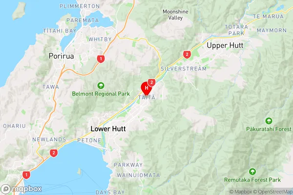
WellingtonTaita Region Map
Coordinates
-41.1794048,174.9597061 (latitude/longitude)Distances
The distance from Taita, Lower Hutt, Lower Hutt City to NZ Top 10 Cities