Taipare Bay Area, Taipare Bay Postcode & Map in Taipare Bay
Taipare Bay Area, Taipare Bay Postcode & Map in Taipare Bay, Marlborough District, New Zealand
Taipare Bay, Marlborough District, New Zealand
Taipare Bay Area (estimated)
16.4 square kilometersTaipare Bay Population (estimated)
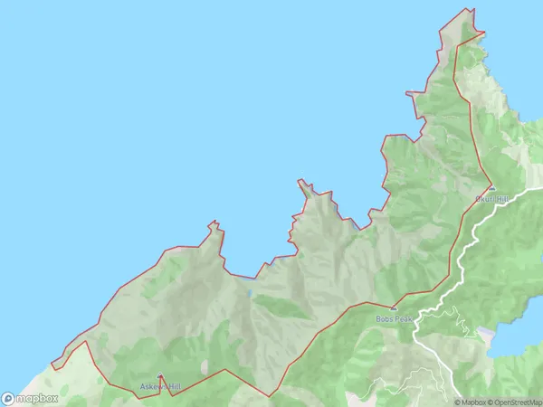
0 people live in Taipare Bay, Marlborough, NZTaipare Bay Suburb Area Map (Polygon)
Taipare Bay Introduction
Taipare Bay is a sheltered bay and beach located in the Marlborough Sounds, Marlborough, New Zealand. It is known for its calm waters, sandy beaches, and stunning coastal scenery. The bay is a popular spot for swimming, kayaking, and fishing, and it is surrounded by native forests and picturesque farmland. Taipare Bay is also home to a small community of residents who enjoy the peaceful and relaxed lifestyle of the area.Region
0Suburb Name
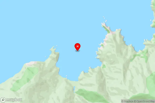
Taipare BayTaipare Bay Area Map (Street)
Local Authority
Marlborough DistrictFull Address
Taipare Bay, Marlborough District, New ZealandAddress Type
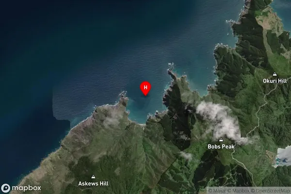
Locality in Major Locality Marlborough SoundsTaipare Bay Suburb Map (Satellite)
Country
Main Region in AU
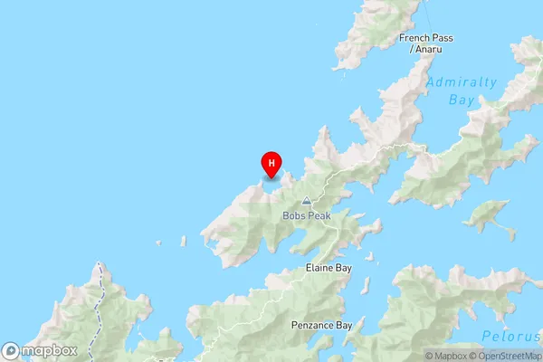
MarlboroughTaipare Bay Region Map
Coordinates
-41.0057286,173.7259193 (latitude/longitude)Distances
The distance from Taipare Bay, Marlborough Sounds, Marlborough District to NZ Top 10 Cities