Tahakopa Valley Area, Tahakopa Valley Postcode & Map in Tahakopa Valley, Clutha District
Tahakopa Valley Area, Tahakopa Valley Postcode & Map in Tahakopa Valley, Clutha District, Southland District,
Tahakopa Valley, Clutha District, Southland District,
Tahakopa Valley Area (estimated)
39.0 square kilometersTahakopa Valley Population (estimated)
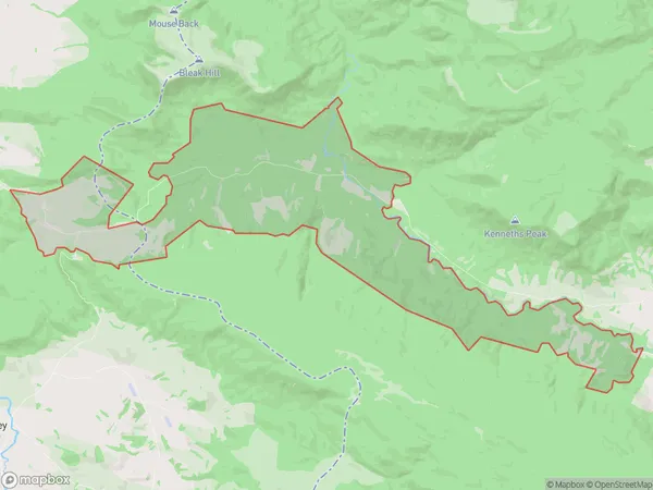
8 people live in Tahakopa Valley, Owaka, NZTahakopa Valley Suburb Area Map (Polygon)
Tahakopa Valley Introduction
Tahakopa Valley is a picturesque rural area located in Owaka, Otago, New Zealand. It is known for its stunning natural landscapes, including rolling hills, lush green valleys, and picturesque rivers. The area is popular with outdoor enthusiasts and nature lovers, who enjoy activities such as hiking, mountain biking, and fishing. The valley is also home to a variety of wildlife, including kea, tui, and red-billed gulls.Region
Major City
Suburb Name
Tahakopa ValleyTahakopa Valley Area Map (Street)
Local Authority
Clutha District, Southland DistrictFull Address
Tahakopa Valley, Clutha District, Southland District,Address Type
Locality in Town OwakaTahakopa Valley Suburb Map (Satellite)
Country
Main Region in AU
OtagoTahakopa Valley Region Map
Coordinates
0,0 (latitude/longitude)Distances
The distance from Tahakopa Valley, Owaka, Clutha District, Southland District to NZ Top 10 Cities