Table Hill Area, Table Hill Postcode & Map in Table Hill
Table Hill Area, Table Hill Postcode & Map in Table Hill, Clutha District, New Zealand
Table Hill, Clutha District, New Zealand
Table Hill Area (estimated)
96.0 square kilometersTable Hill Population (estimated)
54 people live in Table Hill, Otago, NZTable Hill Suburb Area Map (Polygon)
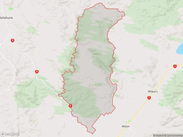
Table Hill Introduction
Table Hill is a prominent hill in Milton, Otago, New Zealand, with a summit elevation of 839 meters (2,753 feet). It is a popular destination for hiking, skiing, and mountain biking, offering stunning views of the surrounding area. The hill is also home to a large telecommunications tower and a radio telescope.Region
Major City
Suburb Name
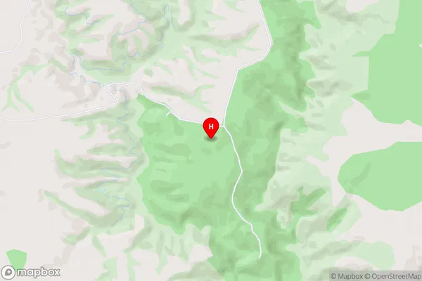
Table HillTable Hill Area Map (Street)
Local Authority
Clutha DistrictFull Address
Table Hill, Clutha District, New ZealandAddress Type
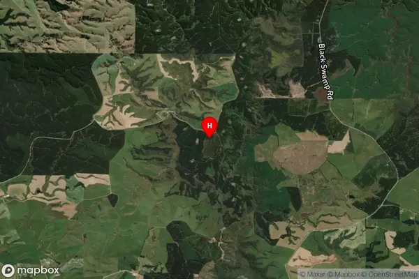
Locality in Town MiltonTable Hill Suburb Map (Satellite)
Country
Main Region in AU
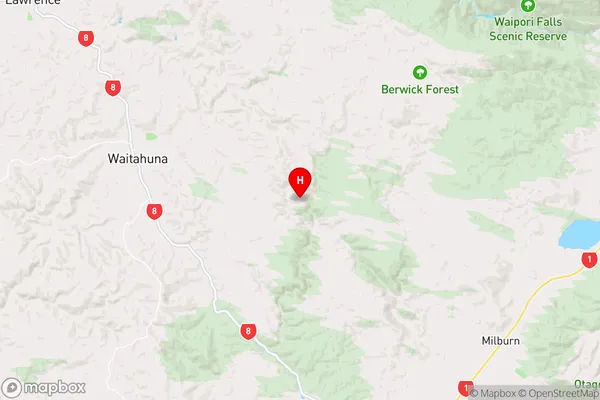
OtagoTable Hill Region Map
Coordinates
-46.008694,169.870472 (latitude/longitude)Distances
The distance from Table Hill, Milton, Clutha District to NZ Top 10 Cities