Sydenham Area, Sydenham Postcode(8011) & Map in Sydenham
Sydenham Area, Sydenham Postcode(8011) & Map in Sydenham, Christchurch City, New Zealand
Sydenham, Christchurch City, New Zealand
Sydenham Area (estimated)
3.6 square kilometersSydenham Population (estimated)
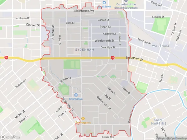
7552 people live in Sydenham, Christchurch, NZSydenham Suburb Area Map (Polygon)
Sydenham Introduction
Sydenham is a suburb of Christchurch, New Zealand, located in the eastern suburbs of the city. It is known for its vibrant community, diverse culture, and convenient location, with easy access to the city center and surrounding areas. The suburb has a population of around 30,000 people and is home to a variety of shops, restaurants, and recreational facilities.Region
Major City
Suburb Name
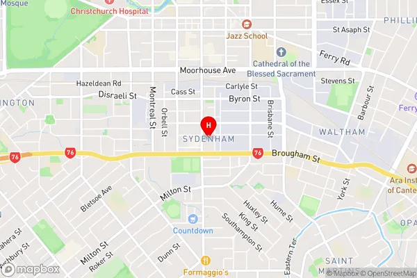
SydenhamSydenham Area Map (Street)
Local Authority
Christchurch CityFull Address
Sydenham, Christchurch City, New ZealandAddress Type
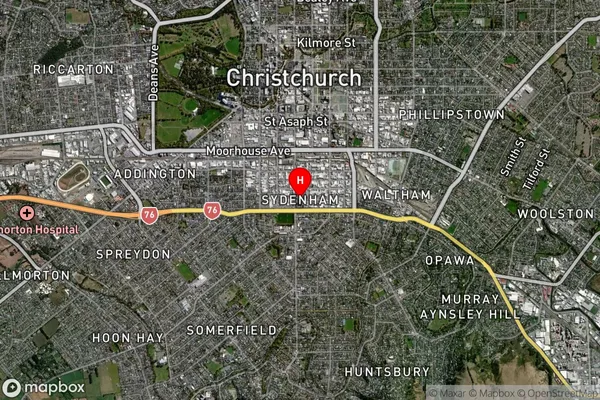
Suburb in City ChristchurchSydenham Suburb Map (Satellite)
Country
Main Region in AU
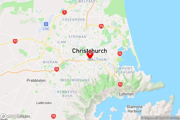
CanterburySydenham Region Map
Coordinates
-43.5461633,172.6375103 (latitude/longitude)Distances
The distance from Sydenham, Christchurch, Christchurch City to NZ Top 10 Cities