Stokes Valley Area, Stokes Valley Postcode(5019) & Map in Stokes Valley
Stokes Valley Area, Stokes Valley Postcode(5019) & Map in Stokes Valley, Lower Hutt City, New Zealand
Stokes Valley, Lower Hutt City, New Zealand
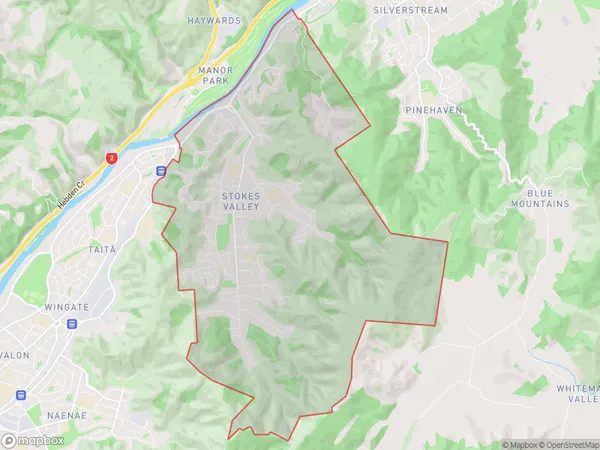
Stokes Valley Area (estimated)
16.3 square kilometersStokes Valley Population (estimated)
10452 people live in Stokes Valley, Lower Hutt, NZStokes Valley Suburb Area Map (Polygon)
Stokes Valley Introduction
Stokes Valley is a suburb of Lower Hutt, Wellington, New Zealand. It is located on the southern side of the Hutt River and is known for its lush green parks, scenic walking trails, and vibrant community. The area has a rich history, with several historic buildings and landmarks, including the Stokes Valley Library and the Stokes Valley Community Centre. It is a popular residential area with a mix of modern apartments and older homes, and is well-connected to the city center by public transportation.Region
Major City
Suburb Name
Stokes ValleyOther Name(s)
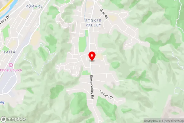
HolbornStokes Valley Area Map (Street)
Local Authority
Lower Hutt CityFull Address
Stokes Valley, Lower Hutt City, New ZealandAddress Type
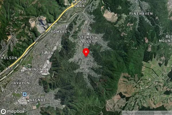
Suburb in City Lower HuttStokes Valley Suburb Map (Satellite)
Country
Main Region in AU
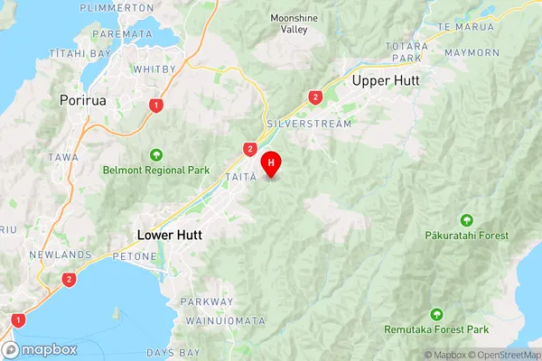
WellingtonStokes Valley Region Map
Coordinates
-41.1813774,174.9828491 (latitude/longitude)Distances
The distance from Stokes Valley, Lower Hutt, Lower Hutt City to NZ Top 10 Cities