Station Peak Area, Station Peak Postcode(7924) & Map in Station Peak
Station Peak Area, Station Peak Postcode(7924) & Map in Station Peak, Waimate District, New Zealand
Station Peak, Waimate District, New Zealand
Station Peak Postcodes
Station Peak Area (estimated)
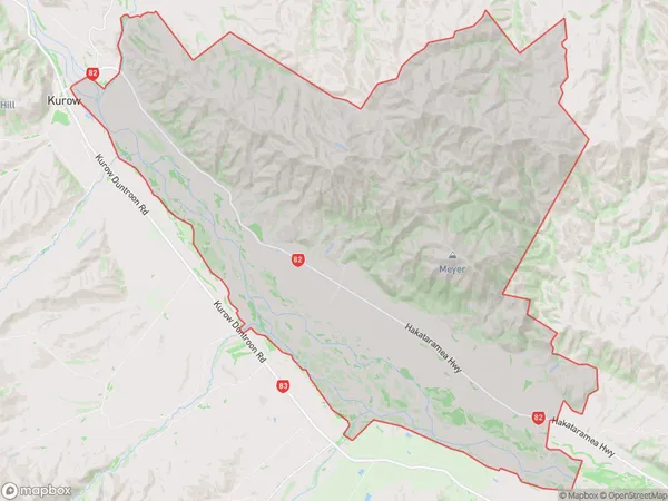
144.7 square kilometersStation Peak Population (estimated)
43 people live in Station Peak, Canterbury, NZStation Peak Suburb Area Map (Polygon)
Station Peak Introduction
Station Peak is a mountain located in the Hakataramea Valley of Canterbury, New Zealand. It is the highest peak in the Southern Alps and the second-highest mountain in New Zealand. The mountain is popular with hikers and climbers and offers stunning views of the surrounding area.Region
Major City
Suburb Name
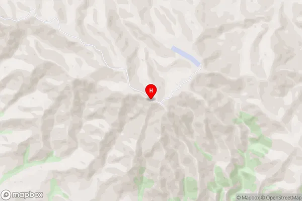
Station PeakStation Peak Area Map (Street)
Local Authority
Waimate DistrictFull Address
Station Peak, Waimate District, New ZealandAddress Type
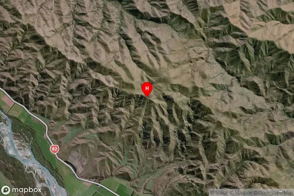
Locality in Major Locality Hakataramea ValleyStation Peak Suburb Map (Satellite)
Country
Main Region in AU
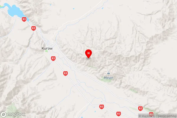
CanterburyStation Peak Region Map
Coordinates
-44.751499,170.566114 (latitude/longitude)Distances
The distance from Station Peak, Hakataramea Valley, Waimate District to NZ Top 10 Cities