Bridge Pa Area, Bridge Pa Postcode(4120) & Map in Bridge Pa
Bridge Pa Area, Bridge Pa Postcode(4120) & Map in Bridge Pa, Hastings District,
Bridge Pa, Hastings District,
Bridge Pa Postcodes
Bridge Pa Area (estimated)
22.5 square kilometersBridge Pa Population (estimated)
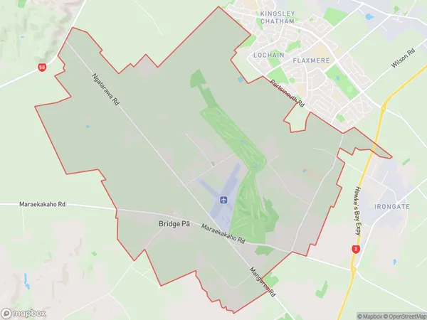
1063 people live in Bridge Pa, Hastings, NZBridge Pa Suburb Area Map (Polygon)
Bridge Pa Introduction
Bridge Pa is a small town in the Hastings District of Hawke's Bay, New Zealand. It is located on the banks of the Tukituki River and is known for its historic buildings and scenic surroundings. The town was founded in the 1850s and was once a major hub for the region's farming and forestry industries. Today, it is a popular tourist destination and home to a number of wineries and restaurants.Region
Major City
Suburb Name
Bridge PaBridge Pa Area Map (Street)
Local Authority
Hastings DistrictFull Address
Bridge Pa, Hastings District,Address Type
Locality in City HastingsBridge Pa Suburb Map (Satellite)
Country
Main Region in AU
Hawke's BayBridge Pa Region Map
Coordinates
0,0 (latitude/longitude)Distances
The distance from Bridge Pa, Hastings, Hastings District to NZ Top 10 Cities