Saint Leonards Area, Saint Leonards Postcode(4120) & Map in Saint Leonards
Saint Leonards Area, Saint Leonards Postcode(4120) & Map in Saint Leonards, Hastings District, New Zealand
Saint Leonards, Hastings District, New Zealand
Saint Leonards Area (estimated)
1.4 square kilometersSaint Leonards Population (estimated)
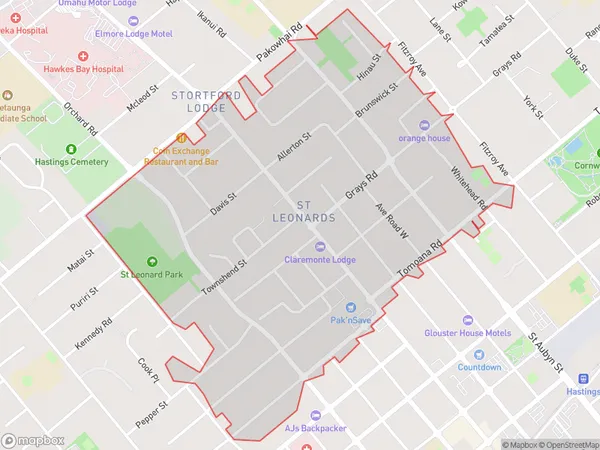
3499 people live in Saint Leonards, Hastings, NZSaint Leonards Suburb Area Map (Polygon)
Saint Leonards Introduction
Saint Leonard's is a small coastal village in Hawke's Bay, New Zealand. It is known for its beautiful beaches, stunning coastal scenery, and relaxed atmosphere. The village has a population of around 200 people and is located about 20 minutes' drive from Hastings. It is a popular destination for tourists and locals alike, with many opportunities for fishing, hiking, and exploring the natural beauty of the area.Region
Major City
Suburb Name
Saint LeonardsOther Name(s)
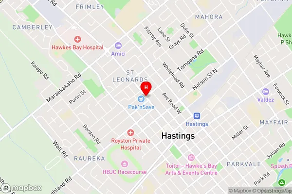
Hastings Central, St LeonardsSaint Leonards Area Map (Street)
Local Authority
Hastings DistrictFull Address
Saint Leonards, Hastings District, New ZealandAddress Type
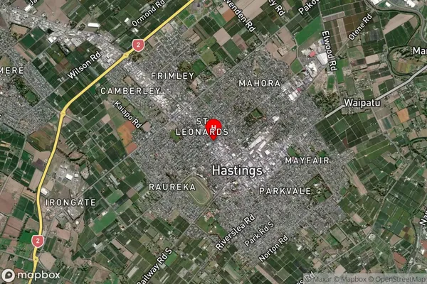
Suburb in City HastingsSaint Leonards Suburb Map (Satellite)
Country
Main Region in AU
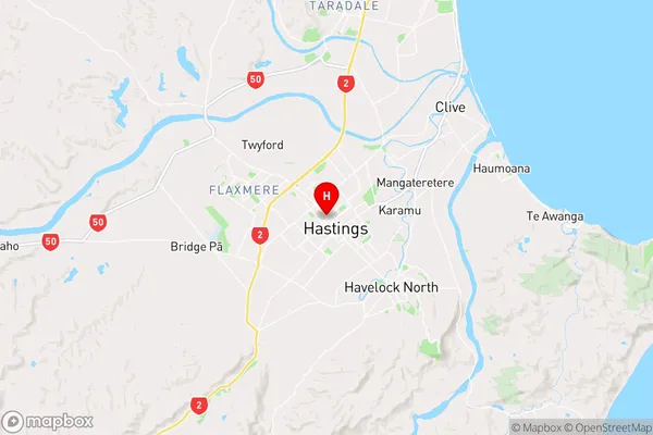
Hawke's BaySaint Leonards Region Map
Coordinates
-39.6364892,176.8374598 (latitude/longitude)Distances
The distance from Saint Leonards, Hastings, Hastings District to NZ Top 10 Cities