Saint Johns Area, Saint Johns Postcode(1072) & Map in Saint Johns
Saint Johns Area, Saint Johns Postcode(1072) & Map in Saint Johns, Auckland, New Zealand
Saint Johns, Auckland, New Zealand
Saint Johns Postcodes
Saint Johns Area (estimated)
3.8 square kilometersSaint Johns Population (estimated)
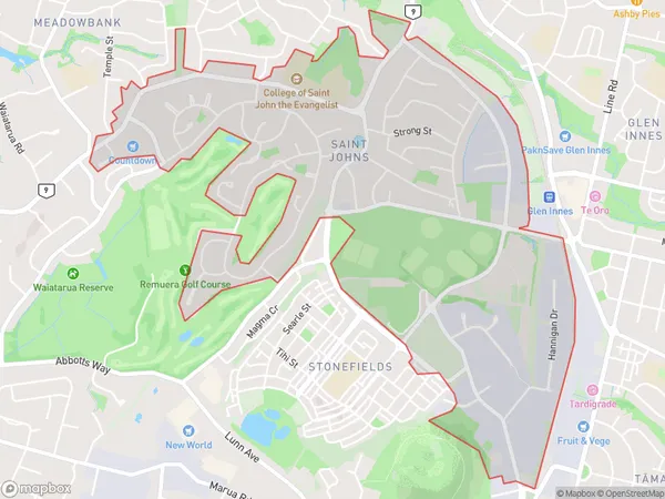
6561 people live in Saint Johns, Ōrākei, NZSaint Johns Suburb Area Map (Polygon)
Saint Johns Introduction
Saint Johns is a suburb of Auckland, New Zealand, located in the Eastern Suburbs. It is known for its vibrant community, diverse culture, and convenient location, with easy access to the city center. The suburb has a variety of shops, restaurants, and recreational facilities, including Saint Johns Park and the Saint Johns Shopping Center. It is also home to a large number of healthcare and educational institutions, making it a popular choice for families and professionals.Region
Major City
Suburb Name
Saint JohnsOther Name(s)
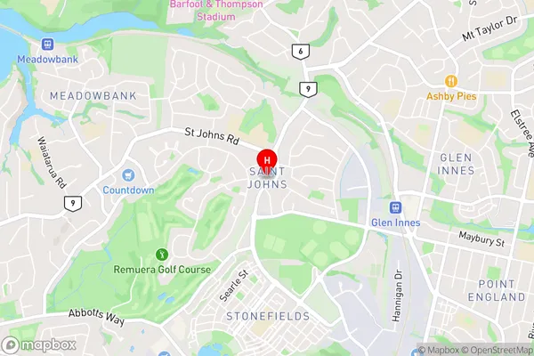
Saint Johns Park, St Johns, St Johns ParkSaint Johns Area Map (Street)
Local Authority
AucklandFull Address
Saint Johns, Auckland, New ZealandAddress Type
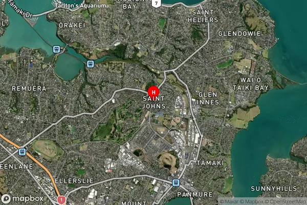
Suburb in City AucklandSaint Johns Suburb Map (Satellite)
Country
Main Region in AU
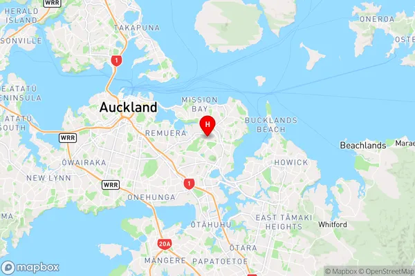
AucklandSaint Johns Region Map
Coordinates
-36.8765875,174.8417411 (latitude/longitude)Distances
The distance from Saint Johns, Auckland, Auckland to NZ Top 10 Cities