Springhills Area, Springhills Postcode & Map in Springhills
Springhills Area, Springhills Postcode & Map in Springhills, Southland District, New Zealand
Springhills, Southland District, New Zealand
Springhills Area (estimated)
81.7 square kilometersSpringhills Population (estimated)
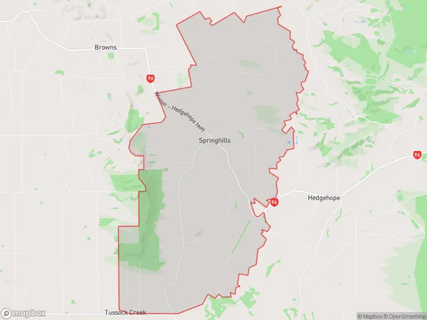
170 people live in Springhills, Oreti Community, NZSpringhills Suburb Area Map (Polygon)
Springhills Introduction
Springhills is a small rural community in Southland, New Zealand. It is located on the banks of the Winton River and is known for its beautiful scenery, friendly locals, and agricultural heritage. The area has a rich history, with early European settlers arriving in the 1860s. Today, Springhills is a popular tourist destination, with visitors coming to explore the historic buildings, enjoy the outdoor activities, and taste the local produce.Region
Major City
Suburb Name
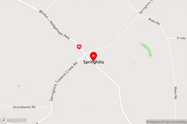
SpringhillsSpringhills Area Map (Street)
Local Authority
Southland DistrictFull Address
Springhills, Southland District, New ZealandAddress Type
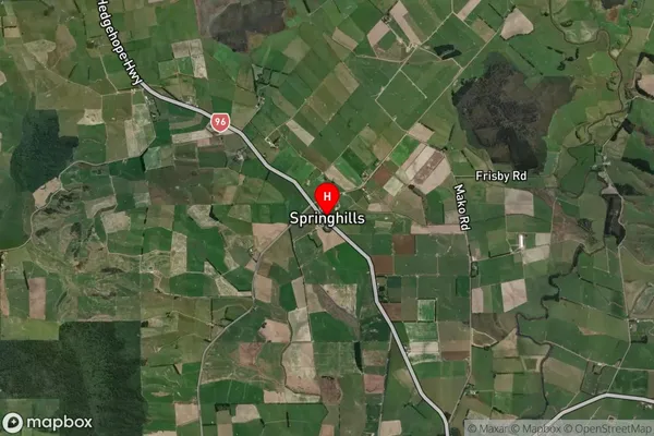
Locality in Town WintonSpringhills Suburb Map (Satellite)
Country
Main Region in AU
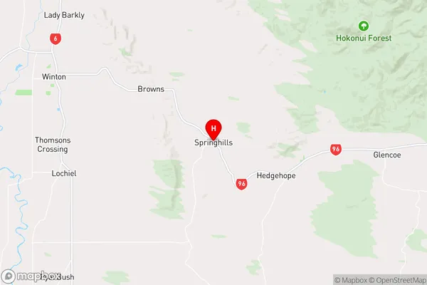
SouthlandSpringhills Region Map
Coordinates
-46.18534,168.47787 (latitude/longitude)Distances
The distance from Springhills, Winton, Southland District to NZ Top 10 Cities