Spring Creek Area, Spring Creek Postcode(7202) & Map in Spring Creek
Spring Creek Area, Spring Creek Postcode(7202) & Map in Spring Creek, Marlborough District, New Zealand
Spring Creek, Marlborough District, New Zealand
Spring Creek Area (estimated)
44.5 square kilometersSpring Creek Population (estimated)
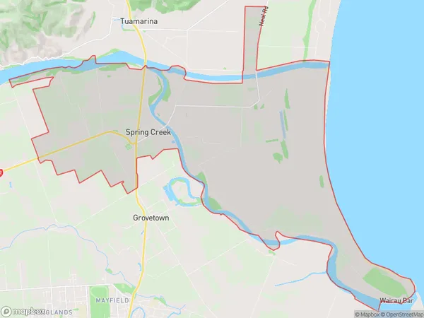
885 people live in Spring Creek, Marlborough, NZSpring Creek Suburb Area Map (Polygon)
Spring Creek Introduction
Spring Creek is a small rural town in Marlborough, New Zealand. It is located on State Highway 1, between Blenheim and Renwick. The town has a population of around 500 people and is known for its scenic countryside and peaceful atmosphere. The area is popular with outdoor enthusiasts, with many walking and hiking trails nearby. The town also has a primary school, a convenience store, and a community hall.Region
Major City
Suburb Name
Spring CreekOther Name(s)
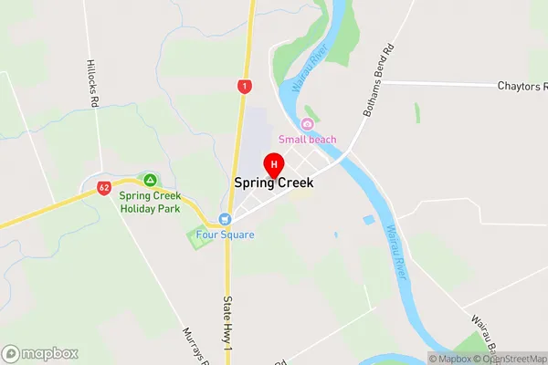
Marshlands, Wairau Bar, Wairau PaSpring Creek Area Map (Street)
Local Authority
Marlborough DistrictFull Address
Spring Creek, Marlborough District, New ZealandAddress Type
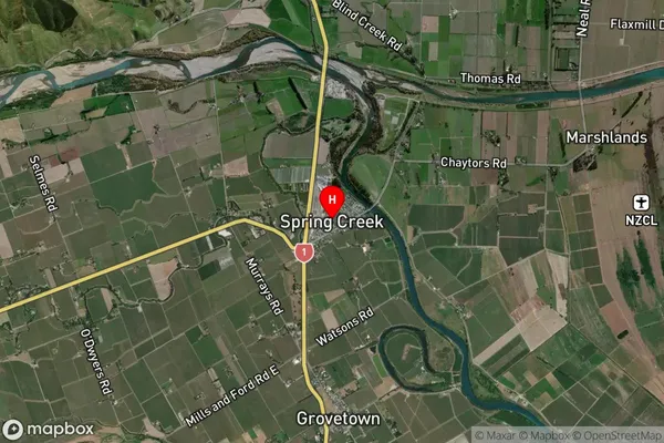
Suburb in Major Locality Spring CreekSpring Creek Suburb Map (Satellite)
Country
Main Region in AU
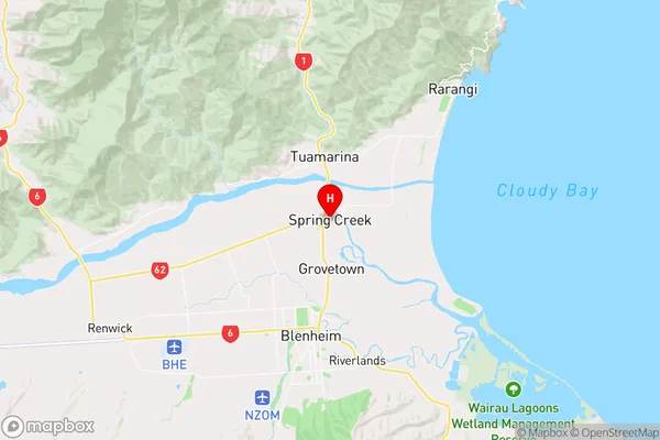
MarlboroughSpring Creek Region Map
Coordinates
-41.4576978,173.966464 (latitude/longitude)Distances
The distance from Spring Creek, Spring Creek, Marlborough District to NZ Top 10 Cities