Spreydon Area, Spreydon Postcode(8024) & Map in Spreydon
Spreydon Area, Spreydon Postcode(8024) & Map in Spreydon, Christchurch City, New Zealand
Spreydon, Christchurch City, New Zealand
Spreydon Area (estimated)
3.2 square kilometersSpreydon Population (estimated)
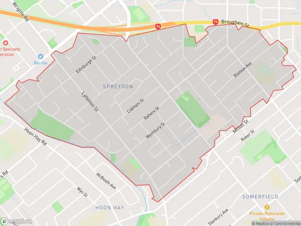
8832 people live in Spreydon, Spreydon-Cashmere Community, NZSpreydon Suburb Area Map (Polygon)
Spreydon Introduction
Spreydon is a suburb of Christchurch, New Zealand, located in the eastern suburbs of the city. It is known for its historic homes, leafy streets, and vibrant community. The suburb was named after Sir George Spreydon, a prominent local landowner and politician. It is home to a variety of shops, restaurants, and recreational facilities, including the Spreydon Park and Recreation Centre.Region
Major City
Suburb Name
SpreydonOther Name(s)
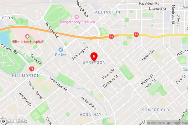
BarringtonSpreydon Area Map (Street)
Local Authority
Christchurch CityFull Address
Spreydon, Christchurch City, New ZealandAddress Type
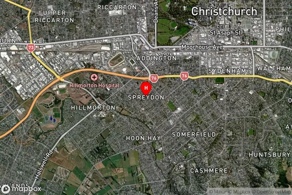
Suburb in City ChristchurchSpreydon Suburb Map (Satellite)
Country
Main Region in AU
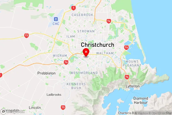
CanterburySpreydon Region Map
Coordinates
-43.5529403,172.6088659 (latitude/longitude)Distances
The distance from Spreydon, Christchurch, Christchurch City to NZ Top 10 Cities