Southburn Area, Southburn Postcode(7972) & Map in Southburn
Southburn Area, Southburn Postcode(7972) & Map in Southburn, Waimate District, New Zealand
Southburn, Waimate District, New Zealand
Southburn Postcodes
Southburn Area (estimated)
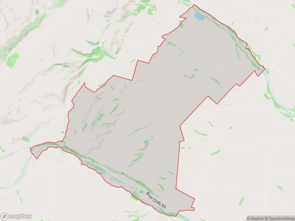
53.1 square kilometersSouthburn Population (estimated)
145 people live in Southburn, Canterbury, NZSouthburn Suburb Area Map (Polygon)
Southburn Introduction
Southburn is a suburb of Christchurch, New Zealand, located 7 km south of the city center. It is known for its rural atmosphere, scenic views, and historic buildings. Southburn has a population of around 10,000 people and is home to a variety of shops, restaurants, and recreational facilities. The suburb is also home to Southburn School, a co-educational primary school with a reputation for academic excellence.Region
0Suburb Name
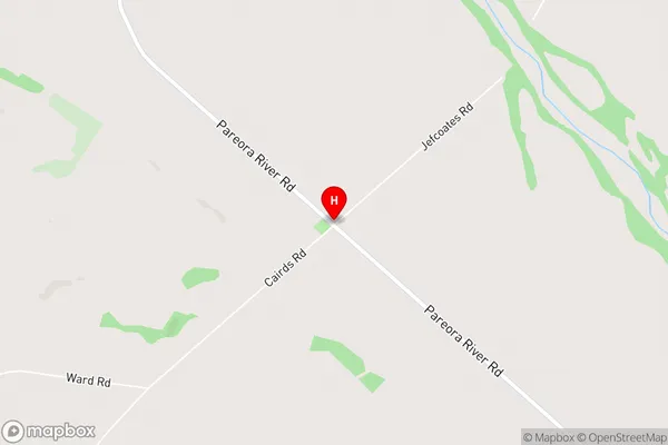
SouthburnSouthburn Area Map (Street)
Local Authority
Waimate DistrictFull Address
Southburn, Waimate District, New ZealandAddress Type
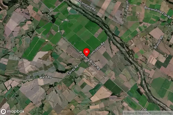
Locality in Major Locality SouthburnSouthburn Suburb Map (Satellite)
Country
Main Region in AU
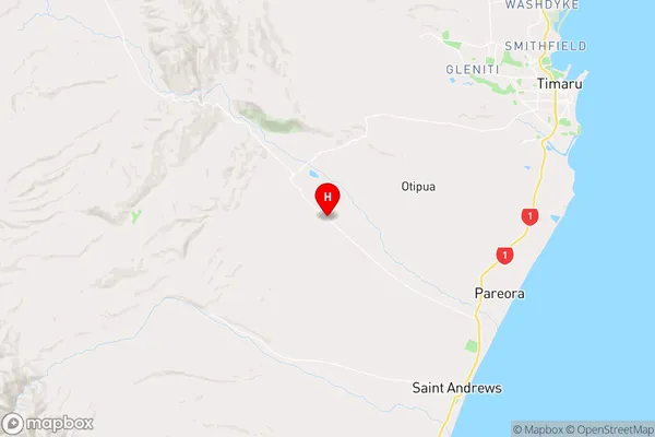
CanterburySouthburn Region Map
Coordinates
-44.4535207,171.1050341 (latitude/longitude)Distances
The distance from Southburn, Southburn, Waimate District to NZ Top 10 Cities