South Hillend Area, South Hillend Postcode(9783) & Map in South Hillend
South Hillend Area, South Hillend Postcode(9783) & Map in South Hillend, Southland District, New Zealand
South Hillend, Southland District, New Zealand
South Hillend Postcodes
South Hillend Area (estimated)
100.1 square kilometersSouth Hillend Population (estimated)
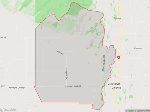
224 people live in South Hillend, Oreti Community, NZSouth Hillend Suburb Area Map (Polygon)
South Hillend Introduction
South Hillend is a small rural community in Southland, New Zealand, located on the banks of the Mataura River. It is known for its scenic beauty, with rolling hills, lush green fields, and picturesque views of the surrounding countryside. The community has a primary school, a post office, a church, and a few small businesses. It is a popular destination for outdoor enthusiasts, with many opportunities for hiking, fishing, and hunting.Region
Major City
Suburb Name
South HillendOther Name(s)
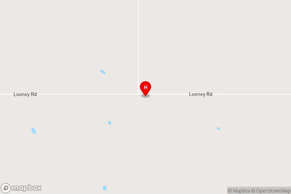
PukemutuSouth Hillend Area Map (Street)
Local Authority
Southland DistrictFull Address
South Hillend, Southland District, New ZealandAddress Type
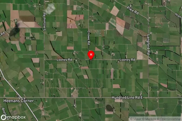
Locality in Town WintonSouth Hillend Suburb Map (Satellite)
Country
Main Region in AU
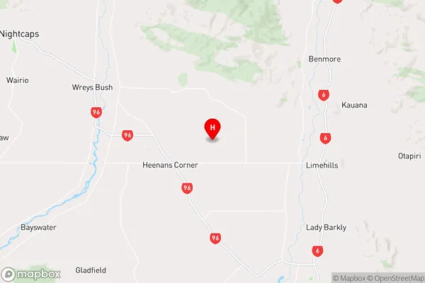
SouthlandSouth Hillend Region Map
Coordinates
-46.0423984,168.2236064 (latitude/longitude)Distances
The distance from South Hillend, Winton, Southland District to NZ Top 10 Cities