South Hill Area, South Hill Postcode(9444) & Map in South Hill
South Hill Area, South Hill Postcode(9444) & Map in South Hill, Waitaki District, New Zealand
South Hill, Waitaki District, New Zealand
South Hill Area (estimated)
4.0 square kilometersSouth Hill Population (estimated)
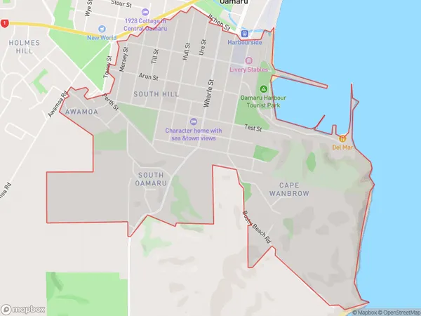
2632 people live in South Hill, Otago, NZSouth Hill Suburb Area Map (Polygon)
South Hill Introduction
South Hill is a residential area in Oamaru, Otago, New Zealand. It is located about 5 km south of the city center and is known for its historic homes and gardens. The area was developed in the late 19th century and has a variety of architectural styles, including Victorian, Edwardian, and Art Deco. South Hill is also home to a number of important cultural institutions, including the Oamaru Blue Penguin Colony and the Oamaru Victorian Heritage Precinct.Region
Major City
Suburb Name
South HillOther Name(s)
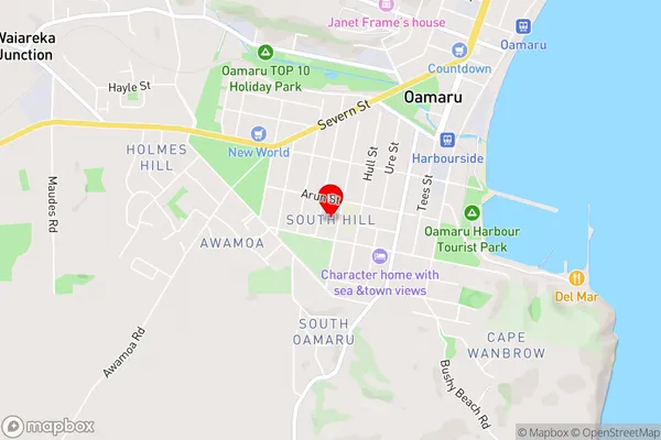
Oamaru CentralSouth Hill Area Map (Street)
Local Authority
Waitaki DistrictFull Address
South Hill, Waitaki District, New ZealandAddress Type
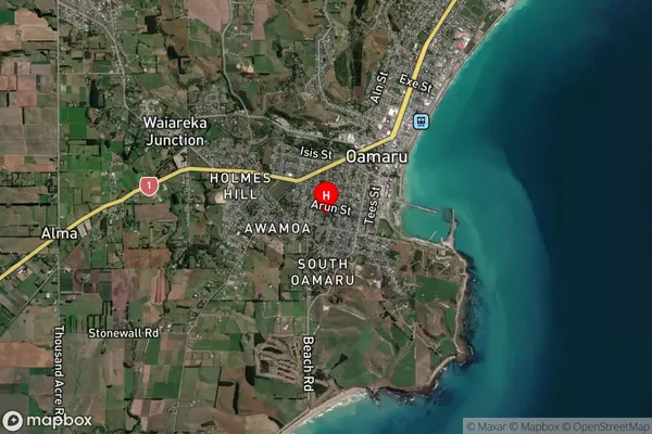
Suburb in Town OamaruSouth Hill Suburb Map (Satellite)
Country
Main Region in AU
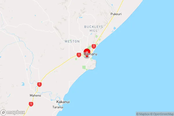
OtagoSouth Hill Region Map
Coordinates
-45.1065405,170.9604314 (latitude/longitude)Distances
The distance from South Hill, Oamaru, Waitaki District to NZ Top 10 Cities