South New Brighton Area, South New Brighton Postcode(8062) & Map in South New Brighton
South New Brighton Area, South New Brighton Postcode(8062) & Map in South New Brighton, Christchurch City, New Zealand
South New Brighton, Christchurch City, New Zealand
South New Brighton Postcodes
South New Brighton Area (estimated)
1.6 square kilometersSouth New Brighton Population (estimated)
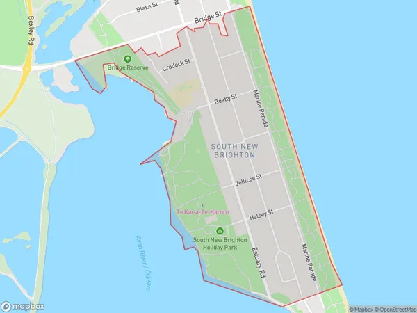
2031 people live in South New Brighton, Coastal-Burwood Community, NZSouth New Brighton Suburb Area Map (Polygon)
South New Brighton Introduction
South New Brighton is a suburb of Christchurch, New Zealand. It is located on the banks of the Avon River and is known for its vibrant community and popular beach. The suburb has a variety of shops, restaurants, and recreational facilities, including a swimming pool and tennis courts. South New Brighton is also home to a large number of historic buildings, including the South New Brighton Lighthouse and the South New Brighton Hall.Region
Major City
Suburb Name
South New BrightonOther Name(s)
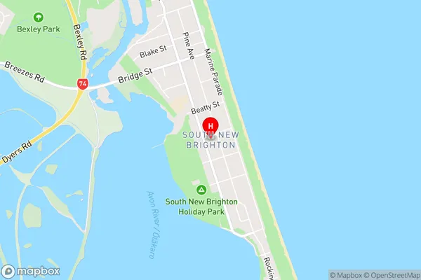
South BrightonSouth New Brighton Area Map (Street)
Local Authority
Christchurch CityFull Address
South New Brighton, Christchurch City, New ZealandAddress Type
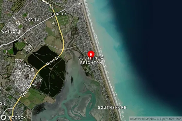
Suburb in City ChristchurchSouth New Brighton Suburb Map (Satellite)
Country
Main Region in AU
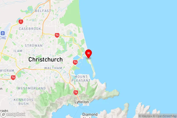
CanterburySouth New Brighton Region Map
Coordinates
-43.5301603,172.7365083 (latitude/longitude)Distances
The distance from South New Brighton, Christchurch, Christchurch City to NZ Top 10 Cities