Sockburn Area, Sockburn Postcode(8024) & Map in Sockburn
Sockburn Area, Sockburn Postcode(8024) & Map in Sockburn, Christchurch City, New Zealand
Sockburn, Christchurch City, New Zealand
Sockburn Area (estimated)
3.2 square kilometersSockburn Population (estimated)
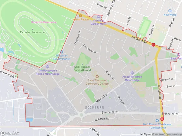
5675 people live in Sockburn, Halswell-Hornby-Riccarton Community, NZSockburn Suburb Area Map (Polygon)
Sockburn Introduction
Sockburn is a suburb of Christchurch, New Zealand, located 7 kilometers south of the city center. It is known for its historic buildings, including the Sockburn Bridge and the Sockburn Pump Station. The suburb has a population of around 8,000 people and is surrounded by picturesque countryside.Region
Major City
Suburb Name
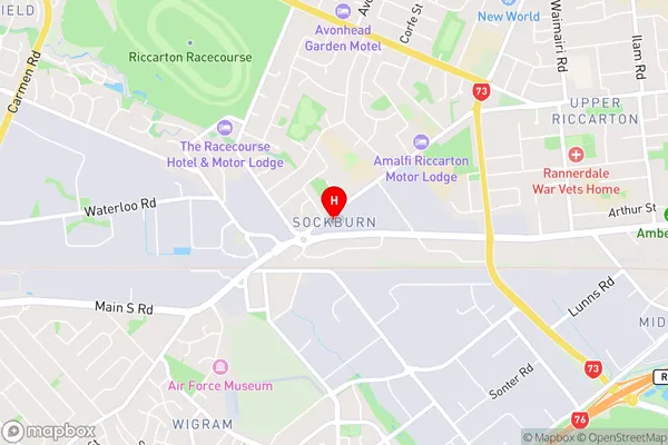
SockburnSockburn Area Map (Street)
Local Authority
Christchurch CityFull Address
Sockburn, Christchurch City, New ZealandAddress Type
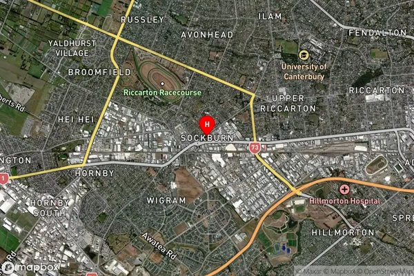
Suburb in City ChristchurchSockburn Suburb Map (Satellite)
Country
Main Region in AU
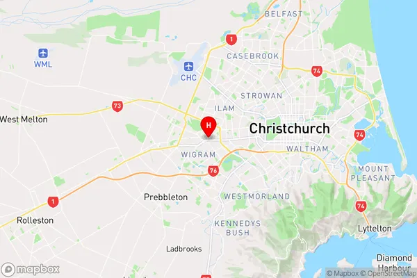
CanterburySockburn Region Map
Coordinates
-43.538496,172.5563941 (latitude/longitude)Distances
The distance from Sockburn, Christchurch, Christchurch City to NZ Top 10 Cities