Shirley Area, Shirley Postcode(8064) & Map in Shirley
Shirley Area, Shirley Postcode(8064) & Map in Shirley, Christchurch City, New Zealand
Shirley, Christchurch City, New Zealand
Shirley Area (estimated)
3.3 square kilometersShirley Population (estimated)
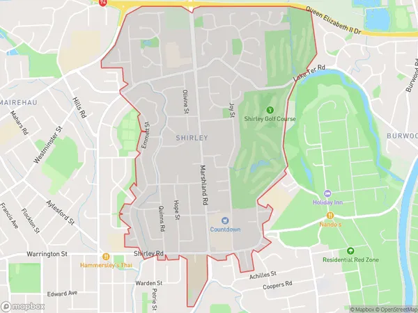
6030 people live in Shirley, Christchurch, NZShirley Suburb Area Map (Polygon)
Shirley Introduction
Shirley is a suburb of Christchurch, New Zealand, located in the eastern suburbs of the city. It is known for its large population of retirees and its peaceful atmosphere. The suburb has a variety of amenities, including a shopping center, a library, and a hospital. Shirley is also home to a number of parks and recreational facilities, including the Shirley Park Golf Course.Region
Major City
Suburb Name
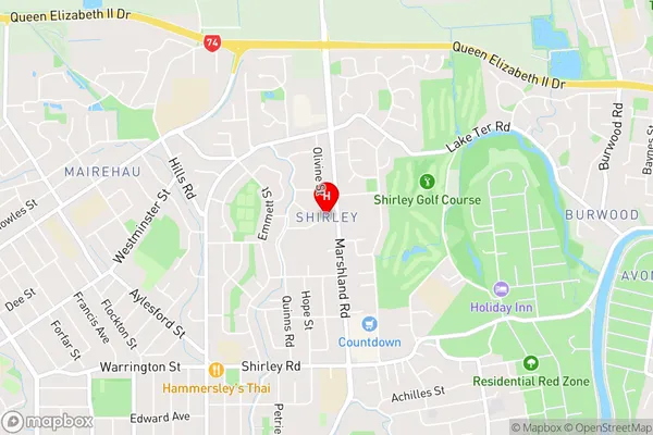
ShirleyShirley Area Map (Street)
Local Authority
Christchurch CityFull Address
Shirley, Christchurch City, New ZealandAddress Type
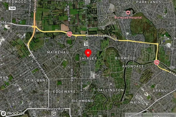
Suburb in City ChristchurchShirley Suburb Map (Satellite)
Country
Main Region in AU
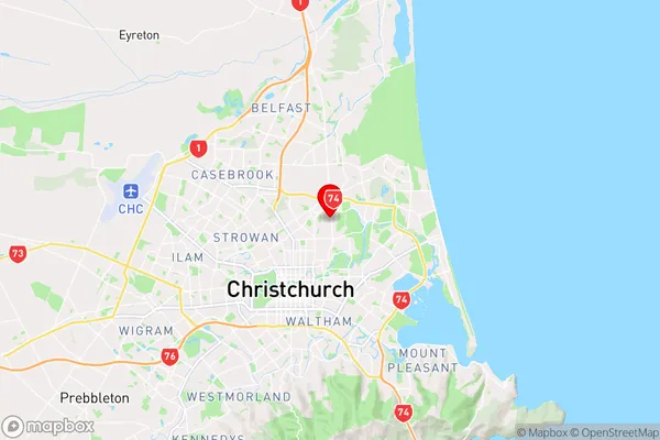
CanterburyShirley Region Map
Coordinates
-43.499562,172.6611226 (latitude/longitude)Distances
The distance from Shirley, Christchurch, Christchurch City to NZ Top 10 Cities