Shelly Park Area, Shelly Park Postcode(2014) & Map in Shelly Park
Shelly Park Area, Shelly Park Postcode(2014) & Map in Shelly Park, Auckland, New Zealand
Shelly Park, Auckland, New Zealand
Shelly Park Area (estimated)
1.3 square kilometersShelly Park Population (estimated)
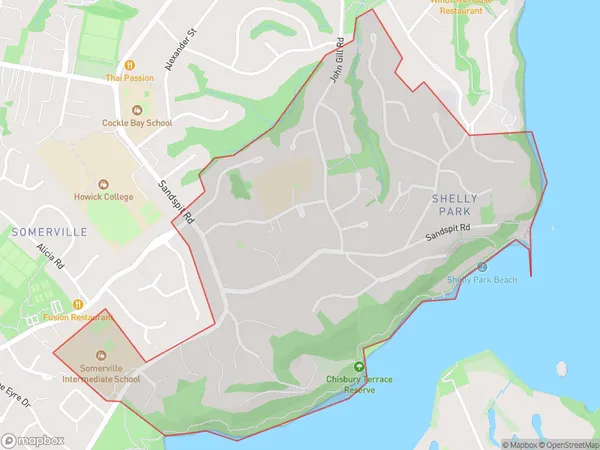
2241 people live in Shelly Park, Howick, NZShelly Park Suburb Area Map (Polygon)
Shelly Park Introduction
Shelly Park is a popular residential area in Auckland, known for its peaceful atmosphere, well-maintained parks, and convenient location. It is located in the Eastern Suburbs, close to the city center and various amenities such as shopping centers, restaurants, and schools. The area has a diverse population and is home to many families and young professionals. Shelly Park is also well-connected to public transportation, making it easy for residents to get around.Region
Major City
Suburb Name
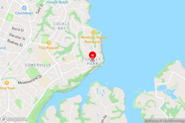
Shelly ParkShelly Park Area Map (Street)
Local Authority
AucklandFull Address
Shelly Park, Auckland, New ZealandAddress Type
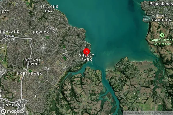
Suburb in City AucklandShelly Park Suburb Map (Satellite)
Country
Main Region in AU
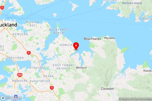
AucklandShelly Park Region Map
Coordinates
-36.9080825,174.9516267 (latitude/longitude)Distances
The distance from Shelly Park, Auckland, Auckland to NZ Top 10 Cities