Sheffield Area, Sheffield Postcode(7500) & Map in Sheffield
Sheffield Area, Sheffield Postcode(7500) & Map in Sheffield, Selwyn District, New Zealand
Sheffield, Selwyn District, New Zealand
Sheffield Area (estimated)
-1.2 square kilometersSheffield Population (estimated)
555 people live in Sheffield, Canterbury, NZSheffield Suburb Area Map (Polygon)
Not available for nowSheffield Introduction
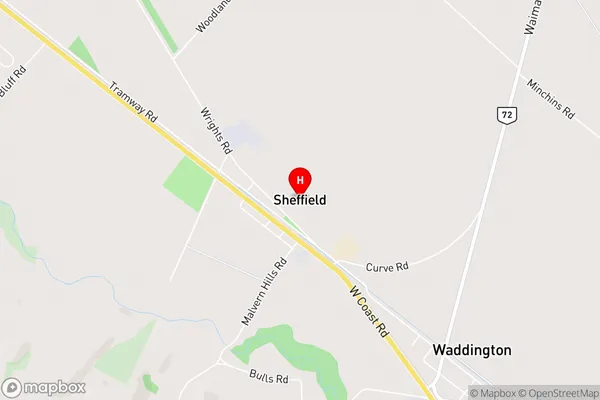
Sheffield is a small rural town located in the Canterbury region of New Zealand. It is known for its picturesque scenery, including rolling hills, farmland, and the Rakaia River. The town has a population of around 1,000 people and is home to a variety of businesses, including a cheese factory, a hotel, and a convenience store. Sheffield is also a popular destination for outdoor activities such as hiking, fishing, and hunting.Region
0Suburb Name
SheffieldOther Name(s)
Annat, Malvern Hills, Russells FlatSheffield Area Map (Street)
Local Authority
Selwyn DistrictFull Address
Sheffield, Selwyn District, New ZealandAddress Type
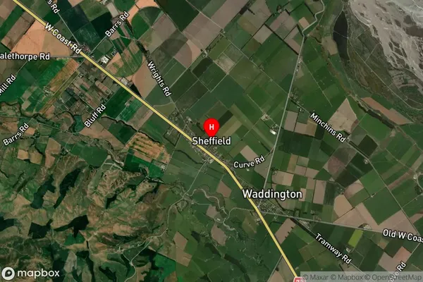
Locality in Major Locality SheffieldSheffield Suburb Map (Satellite)
Country
Main Region in AU
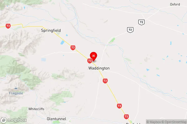
CanterburySheffield Region Map
Coordinates
-43.3874771,172.0215364 (latitude/longitude)Distances
The distance from Sheffield, Sheffield, Selwyn District to NZ Top 10 Cities