Seaward Downs Area, Seaward Downs Postcode & Map in Seaward Downs
Seaward Downs Area, Seaward Downs Postcode & Map in Seaward Downs, Southland District, New Zealand
Seaward Downs, Southland District, New Zealand
Seaward Downs Area (estimated)
60.0 square kilometersSeaward Downs Population (estimated)
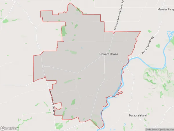
170 people live in Seaward Downs, Waihopai Toetoe Community, NZSeaward Downs Suburb Area Map (Polygon)
Seaward Downs Introduction
Seaward Downs is a farm located in Wyndham, Southland, New Zealand. It was established in 1865 by William Fox and is currently run by his grandson, Richard Fox. The farm is known for its sheep and beef production, and it also operates a tourist lodge and restaurant. The farm has a rich history, and it has been featured in several documentaries and television shows about New Zealand agriculture.Region
Major City
Suburb Name
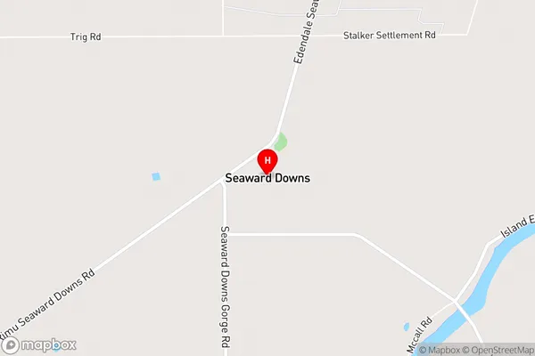
Seaward DownsSeaward Downs Area Map (Street)
Local Authority
Southland DistrictFull Address
Seaward Downs, Southland District, New ZealandAddress Type
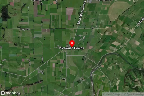
Locality in Town WyndhamSeaward Downs Suburb Map (Satellite)
Country
Main Region in AU
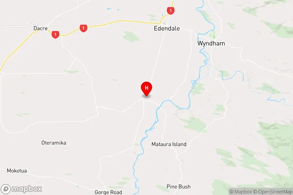
SouthlandSeaward Downs Region Map
Coordinates
-46.38172,168.75665 (latitude/longitude)Distances
The distance from Seaward Downs, Wyndham, Southland District to NZ Top 10 Cities