Seaview Area, Seaview Postcode(5010) & Map in Seaview
Seaview Area, Seaview Postcode(5010) & Map in Seaview, Lower Hutt City, New Zealand
Seaview, Lower Hutt City, New Zealand
Seaview Postcodes
Seaview Area (estimated)
1.6 square kilometersSeaview Population (estimated)
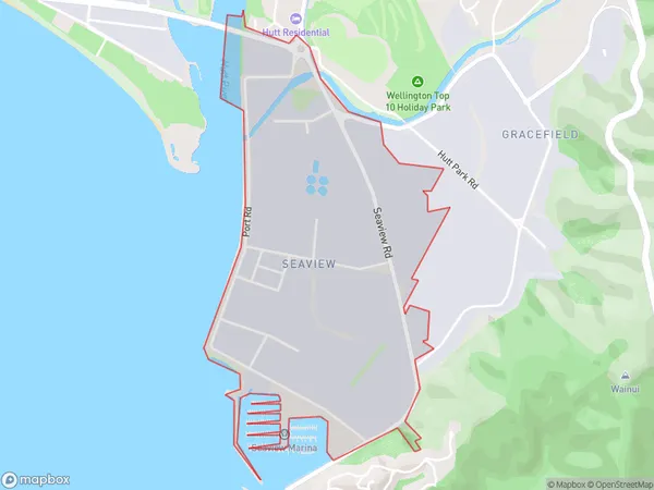
212 people live in Seaview, Lower Hutt, NZSeaview Suburb Area Map (Polygon)
Seaview Introduction
Seaview is a suburb of Lower Hutt, Wellington, New Zealand. It is located on the southern shore of the Wellington Harbour and is known for its scenic views, beaches, and recreational facilities. The area has a population of around 6,000 people and is popular with families and retirees. Seaview has a variety of shops, restaurants, and cafes, as well as a medical center and a library. The suburb is also home to a number of parks and sports facilities, including a golf course and a bowls club.Region
Major City
Suburb Name
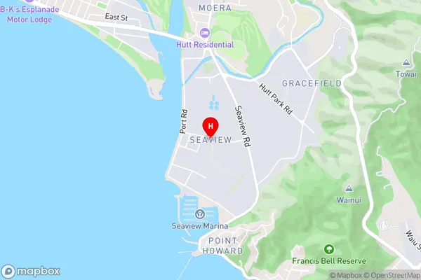
SeaviewSeaview Area Map (Street)
Local Authority
Lower Hutt CityFull Address
Seaview, Lower Hutt City, New ZealandAddress Type
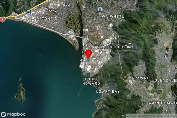
Suburb in City Lower HuttSeaview Suburb Map (Satellite)
Country
Main Region in AU
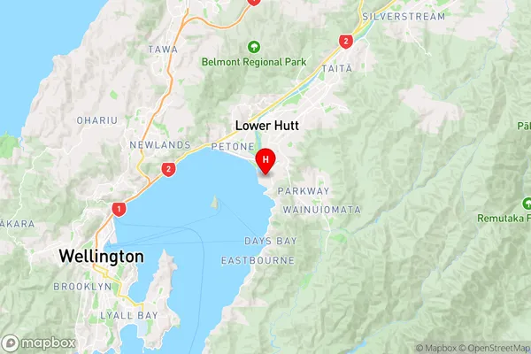
WellingtonSeaview Region Map
Coordinates
-41.2426034,174.9045756 (latitude/longitude)Distances
The distance from Seaview, Lower Hutt, Lower Hutt City to NZ Top 10 Cities