Seaview Area, Seaview Postcode(7810) & Map in Seaview
Seaview Area, Seaview Postcode(7810) & Map in Seaview, Westland District, New Zealand
Seaview, Westland District, New Zealand
Seaview Postcodes
Seaview Area (estimated)
2.2 square kilometersSeaview Population (estimated)
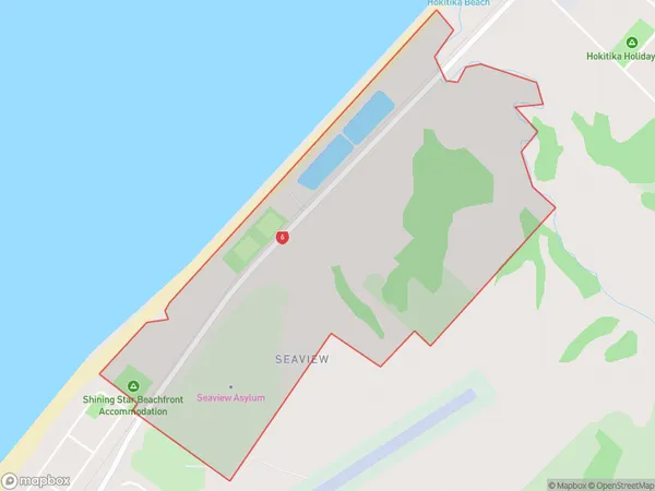
34 people live in Seaview, West Coast, NZSeaview Suburb Area Map (Polygon)
Seaview Introduction
Seaview is a small West Coast town in New Zealand known for its scenic coastal views, greenstone quarries, and as the gateway to the Franz Josef Glacier. It is located 125 kilometers northwest of Christchurch and has a population of around 2,000 people. The town is surrounded by natural beauty, including the Southern Alps and the West Coast Range, and offers a range of outdoor activities such as hiking, skiing, and fishing.Region
Major City
Suburb Name
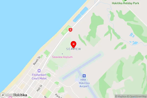
SeaviewSeaview Area Map (Street)
Local Authority
Westland DistrictFull Address
Seaview, Westland District, New ZealandAddress Type
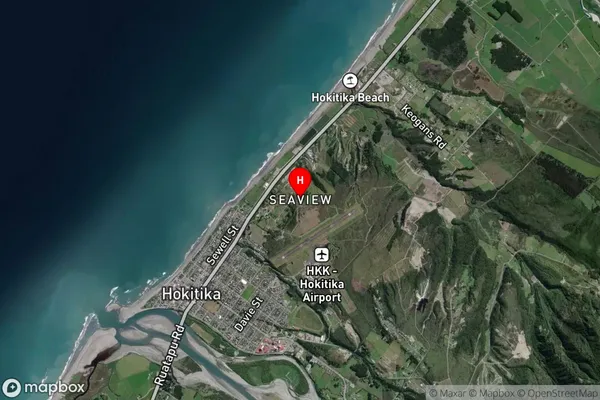
Locality in Town HokitikaSeaview Suburb Map (Satellite)
Country
Main Region in AU
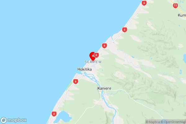
West CoastSeaview Region Map
Coordinates
-42.706051,170.983329 (latitude/longitude)Distances
The distance from Seaview, Hokitika, Westland District to NZ Top 10 Cities