Boulcott Area, Boulcott Postcode(5010) & Map in Boulcott
Boulcott Area, Boulcott Postcode(5010) & Map in Boulcott, Lower Hutt City, New Zealand
Boulcott, Lower Hutt City, New Zealand
Boulcott Postcodes
Boulcott Area (estimated)
2.1 square kilometersBoulcott Population (estimated)
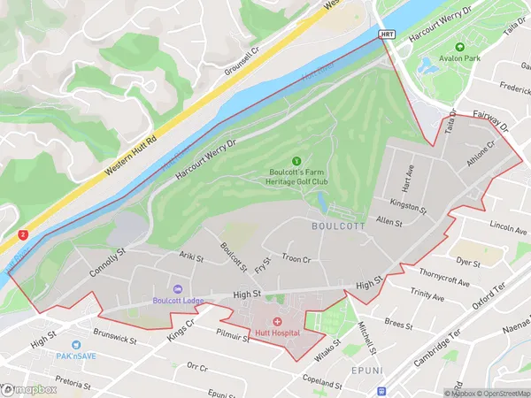
3123 people live in Boulcott, Lower Hutt, NZBoulcott Suburb Area Map (Polygon)
Boulcott Introduction
Boulcott is a suburb of Lower Hutt, Wellington, New Zealand. It is located on the southern side of the Hutt River, approximately 5 kilometers from the city center. Boulcott is known for its historic homes and gardens, as well as its peaceful atmosphere and proximity to the river. The area was developed in the late 19th century and was named after the Boulcott family, who were prominent land owners in the region. Today, Boulcott is a popular residential area with a mix of older homes and new developments. It is home to a variety of shops, cafes, and recreational facilities, including the Boulcott Park Golf Course and the Boulcott Community Centre.Region
Major City
Suburb Name
BoulcottOther Name(s)
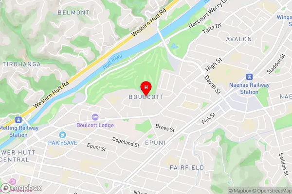
Lower Hutt CentralBoulcott Area Map (Street)
Local Authority
Lower Hutt CityFull Address
Boulcott, Lower Hutt City, New ZealandAddress Type
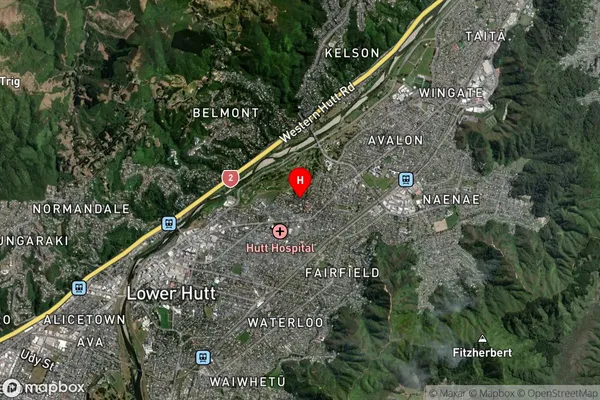
Suburb in City Lower HuttBoulcott Suburb Map (Satellite)
Country
Main Region in AU
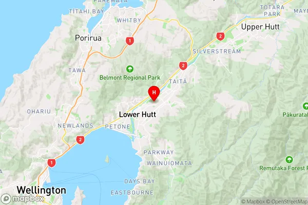
WellingtonBoulcott Region Map
Coordinates
-41.2005344,174.9279 (latitude/longitude)Distances
The distance from Boulcott, Lower Hutt, Lower Hutt City to NZ Top 10 Cities