Sandringham Area, Sandringham Postcode(1025) & Map in Sandringham
Sandringham Area, Sandringham Postcode(1025) & Map in Sandringham, Auckland, New Zealand
Sandringham, Auckland, New Zealand
Sandringham Area (estimated)
3.0 square kilometersSandringham Population (estimated)
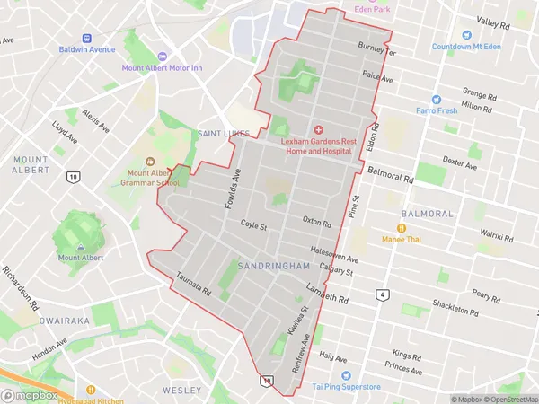
11883 people live in Sandringham, Albert-Eden, NZSandringham Suburb Area Map (Polygon)
Sandringham Introduction
Sandringham is a suburb of Auckland, New Zealand, and is located in the eastern part of the city. It is known for its large, leafy homes and peaceful atmosphere, and is popular with families and professionals. The suburb has a variety of shops, restaurants, and recreational facilities, including a golf course and a swimming pool. Sandringham is also well-connected to other parts of Auckland via public transport, making it an easy commute to the city center.Region
Major City
Suburb Name
SandringhamOther Name(s)
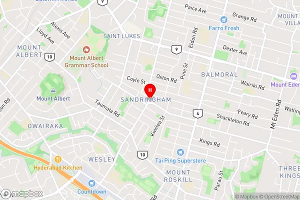
Saint Lukes, St LukesSandringham Area Map (Street)
Local Authority
AucklandFull Address
Sandringham, Auckland, New ZealandAddress Type
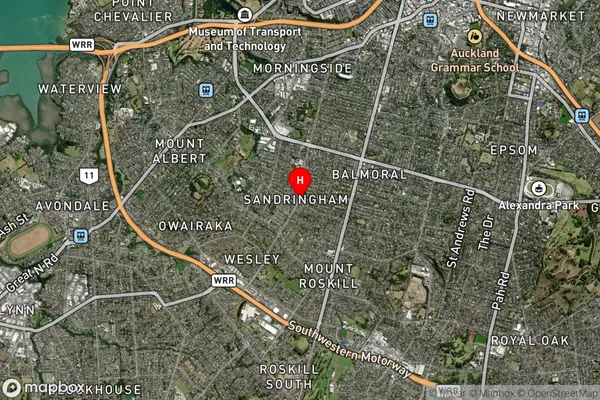
Suburb in City AucklandSandringham Suburb Map (Satellite)
Country
Main Region in AU
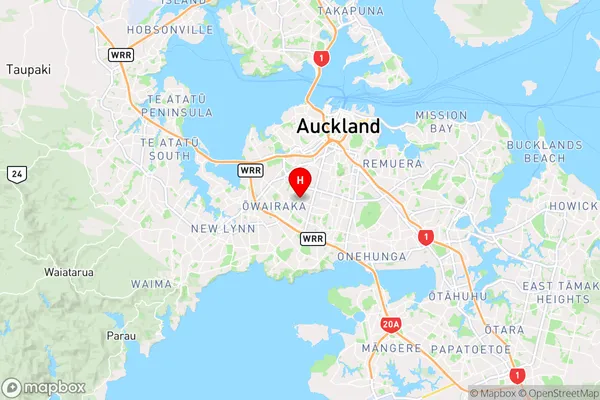
AucklandSandringham Region Map
Coordinates
-36.892686,174.7368028 (latitude/longitude)Distances
The distance from Sandringham, Auckland, Auckland to NZ Top 10 Cities