Saint Leonards Area, Saint Leonards Postcode(4153) & Map in Saint Leonards
Saint Leonards Area, Saint Leonards Postcode(4153) & Map in Saint Leonards, Dunedin City,
Saint Leonards, Dunedin City,
Saint Leonards Area (estimated)
4.0 square kilometersSaint Leonards Population (estimated)
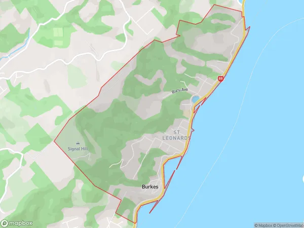
721 people live in Saint Leonards, Dunedin, NZSaint Leonards Suburb Area Map (Polygon)
Saint Leonards Introduction
Saint Leonards is a suburb of Dunedin, New Zealand, located on the city's eastern coast. It is known for its beachfront location, stunning views of the Otago Peninsula, and a vibrant community. The suburb has a variety of housing options, including apartments, houses, and retirement villages, and is home to several popular restaurants and cafes. Saint Leonards is also a popular destination for outdoor activities, including swimming, surfing, and hiking, with several parks and reserves in the area.Region
Major City
Suburb Name
Saint LeonardsOther Name(s)
Burkes, St LeonardsSaint Leonards Area Map (Street)
Local Authority
Dunedin CityFull Address
Saint Leonards, Dunedin City,Address Type
Suburb in City DunedinSaint Leonards Suburb Map (Satellite)
Country
Main Region in AU
OtagoSaint Leonards Region Map
Coordinates
0,0 (latitude/longitude)Distances
The distance from Saint Leonards, Dunedin, Dunedin City to NZ Top 10 Cities