Rutherglen Area, Rutherglen Postcode(7805) & Map in Rutherglen
Rutherglen Area, Rutherglen Postcode(7805) & Map in Rutherglen, Grey District, New Zealand
Rutherglen, Grey District, New Zealand
Rutherglen Postcodes
Rutherglen Area (estimated)
4.8 square kilometersRutherglen Population (estimated)
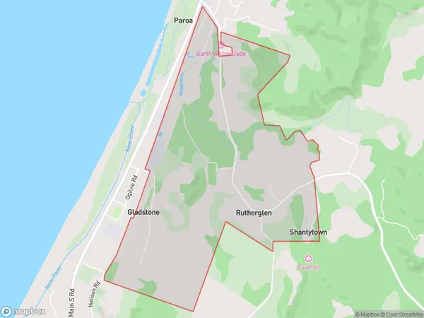
233 people live in Rutherglen, West Coast, NZRutherglen Suburb Area Map (Polygon)
Rutherglen Introduction
Rutherglen is a historic wine-growing region in the West Coast of New Zealand's South Island. It is known for its scenic landscapes, rich history, and delicious wines. The region has a temperate climate with warm summers and cool winters, ideal for growing grapes. Rutherglen has a number of wineries and restaurants, and is a popular tourist destination.Region
Major City
Suburb Name
RutherglenOther Name(s)
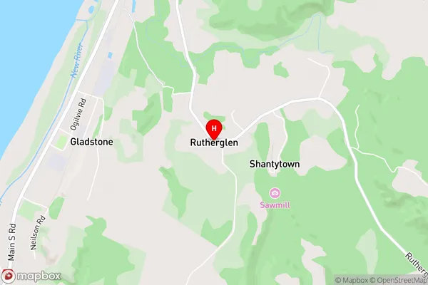
South BeachRutherglen Area Map (Street)
Local Authority
Grey DistrictFull Address
Rutherglen, Grey District, New ZealandAddress Type
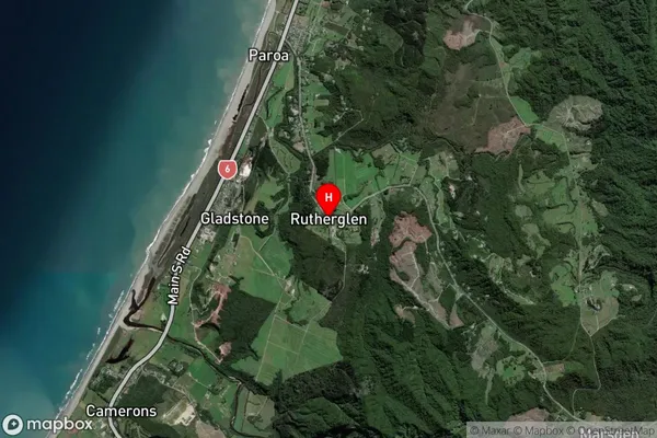
Suburb in Town GreymouthRutherglen Suburb Map (Satellite)
Country
Main Region in AU
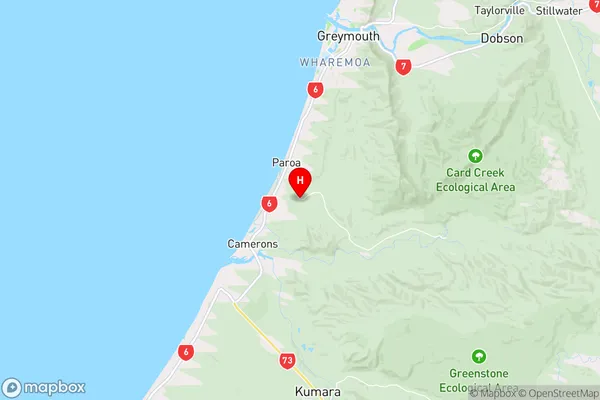
West CoastRutherglen Region Map
Coordinates
-42.5329864,171.1747599 (latitude/longitude)Distances
The distance from Rutherglen, Greymouth, Grey District to NZ Top 10 Cities