Botany Downs Area, Botany Downs Postcode(2014) & Map in Botany Downs
Botany Downs Area, Botany Downs Postcode(2014) & Map in Botany Downs, Auckland, New Zealand
Botany Downs, Auckland, New Zealand
Botany Downs Area (estimated)
2.1 square kilometersBotany Downs Population (estimated)
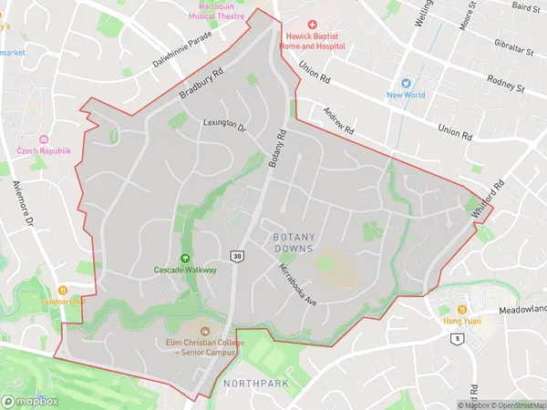
6150 people live in Botany Downs, Howick, NZBotany Downs Suburb Area Map (Polygon)
Botany Downs Introduction
Botany Downs is a suburb of Auckland, New Zealand, located in the Eastern Suburbs. It is known for its large residential areas, shopping centers, and recreational facilities, including Botany Downs Racecourse and the Botany Downs Shopping Center. The suburb is also home to a number of important historical sites, including the former Botany Sugar Refinery and the Botany Downs Railway Station.Region
Major City
Suburb Name
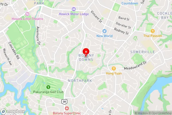
Botany DownsBotany Downs Area Map (Street)
Local Authority
AucklandFull Address
Botany Downs, Auckland, New ZealandAddress Type
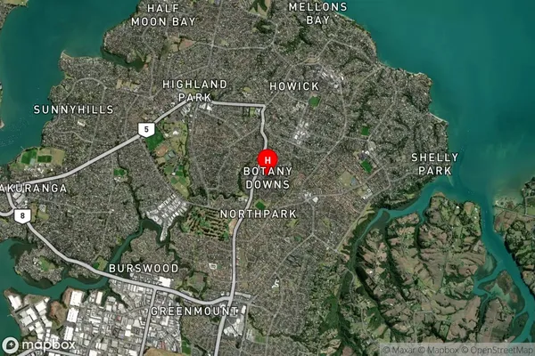
Suburb in City AucklandBotany Downs Suburb Map (Satellite)
Country
Main Region in AU
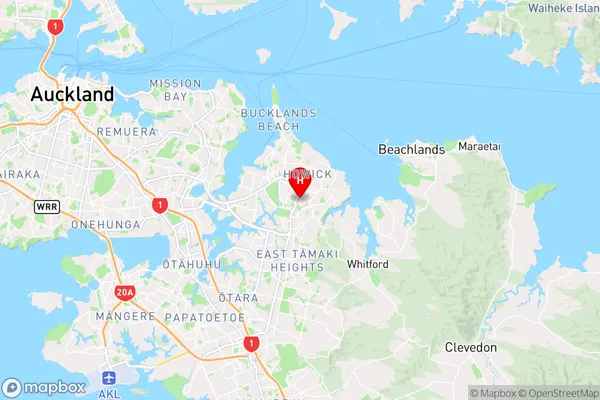
AucklandBotany Downs Region Map
Coordinates
-36.9102173,174.9194739 (latitude/longitude)Distances
The distance from Botany Downs, Auckland, Auckland to NZ Top 10 Cities