Ruakokoputuna Area, Ruakokoputuna Postcode & Map in Ruakokoputuna
Ruakokoputuna Area, Ruakokoputuna Postcode & Map in Ruakokoputuna, South Wairarapa District,
Ruakokoputuna, South Wairarapa District,
Ruakokoputuna Area (estimated)
115.8 square kilometersRuakokoputuna Population (estimated)
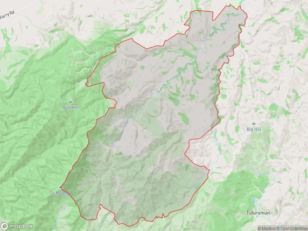
102 people live in Ruakokoputuna, Martinborough, NZRuakokoputuna Suburb Area Map (Polygon)
Ruakokoputuna Introduction
Ruakokoputuna is a small rural settlement in the Wairarapa region of New Zealand's North Island. It is located in the Martinborough District and is known for its scenic views, wine production, and peaceful atmosphere. The settlement has a population of around 100 people and is surrounded by vineyards and olive groves. Ruakokoputuna is a popular destination for tourists who enjoy wine tasting, hiking, and cycling.Region
Major City
Suburb Name
Ruakokoputuna (Maori Name: Ruakōkoputuna)Other Name(s)
Ruakokopatuna, TemunaRuakokoputuna Area Map (Street)
Local Authority
South Wairarapa DistrictFull Address
Ruakokoputuna, South Wairarapa District,Address Type
Locality in Town MartinboroughRuakokoputuna Suburb Map (Satellite)
Country
Main Region in AU
WellingtonRuakokoputuna Region Map
Coordinates
0,0 (latitude/longitude)Distances
The distance from Ruakokoputuna, Martinborough, South Wairarapa District to NZ Top 10 Cities