Ruahine Area, Ruahine Postcode(4797) & Map in Ruahine
Ruahine Area, Ruahine Postcode(4797) & Map in Ruahine, Southland District, New Zealand
Ruahine, Southland District, New Zealand
Ruahine Postcodes
Ruahine Area (estimated)
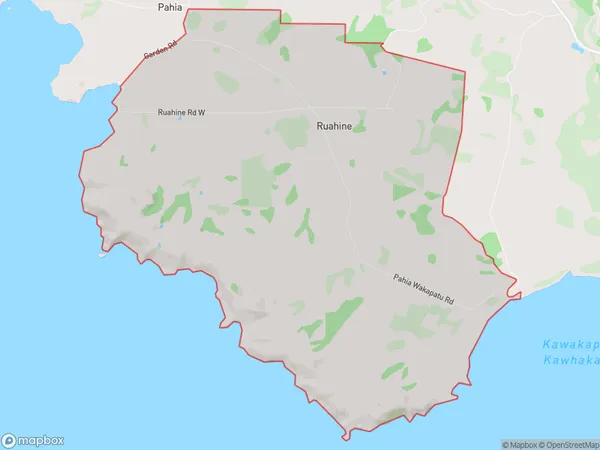
31.3 square kilometersRuahine Population (estimated)
23 people live in Ruahine, Southland, NZRuahine Suburb Area Map (Polygon)
Ruahine Introduction
Ruahine is a small rural town in Southland, New Zealand, located on the banks of the Ruahine River. It is known for its scenic beauty, including the Ruahine Forest Park, and for its strong Maori culture. The town has a population of around 1,000 people and is a popular destination for outdoor enthusiasts, with many opportunities for hiking, fishing, and hunting.Region
0Suburb Name
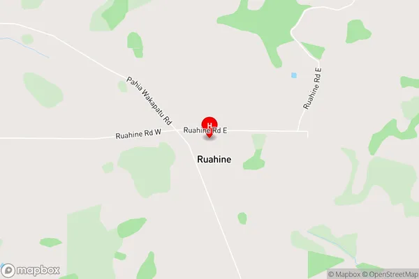
RuahineRuahine Area Map (Street)
Local Authority
Southland DistrictFull Address
Ruahine, Southland District, New ZealandAddress Type
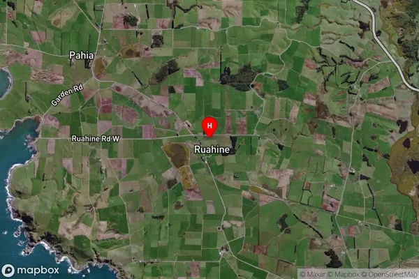
Locality in Town Riverton/AparimaRuahine Suburb Map (Satellite)
Country
Main Region in AU
SouthlandRuahine Region Map

Coordinates
-46.3466063,167.7801618 (latitude/longitude)Distances
The distance from Ruahine, Riverton/Aparima, Southland District to NZ Top 10 Cities