Rotoorangi Area, Rotoorangi Postcode & Map in Rotoorangi
Rotoorangi Area, Rotoorangi Postcode & Map in Rotoorangi, Waipa District, New Zealand
Rotoorangi, Waipa District, New Zealand
Rotoorangi Area (estimated)
130.2 square kilometersRotoorangi Population (estimated)
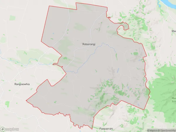
1062 people live in Rotoorangi, Waikato, NZRotoorangi Suburb Area Map (Polygon)
Rotoorangi Introduction
Rotoorangi is a small town in the Waikato region of New Zealand, known for its stunning natural surroundings, including the Rotoorangi Mountain Range. It is also home to the Rotoorangi Research Station, a hub for scientific research and innovation. The town has a rich history and culture, with a strong Maori presence. It is a popular destination for outdoor activities such as hiking, skiing, and fishing, and is surrounded by beautiful farmland and picturesque lakes.Region
Major City
Suburb Name
RotoorangiOther Name(s)
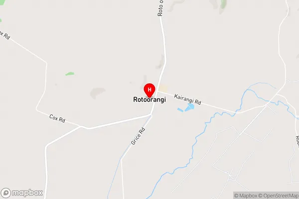
Kairangi, PuahueRotoorangi Area Map (Street)
Local Authority
Waipa DistrictFull Address
Rotoorangi, Waipa District, New ZealandAddress Type
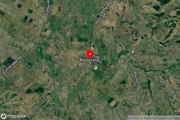
Locality in Town CambridgeRotoorangi Suburb Map (Satellite)
Country
Main Region in AU
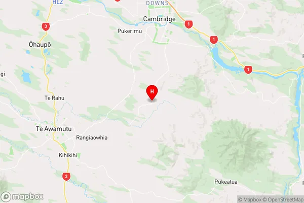
WaikatoRotoorangi Region Map
Coordinates
-37.9799277,175.4591274 (latitude/longitude)Distances
The distance from Rotoorangi, Cambridge, Waipa District to NZ Top 10 Cities