Ross Area, Ross Postcode(7812) & Map in Ross
Ross Area, Ross Postcode(7812) & Map in Ross, Westland District, New Zealand
Ross, Westland District, New Zealand
Ross Area (estimated)
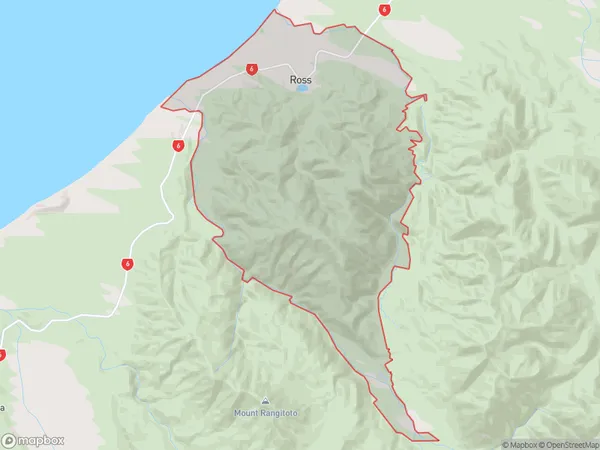
98.5 square kilometersRoss Population (estimated)
308 people live in Ross, West Coast, NZRoss Suburb Area Map (Polygon)
Ross Introduction
Ross, Ross, West Coast, New Zealand, is a small town located in the West Coast region of the South Island. It is known for its scenic beauty, including the rugged coastline, dense forests, and historic gold mining sites. The town has a population of around 1,000 people and is a popular destination for outdoor enthusiasts and tourists.Region
Major City
Suburb Name
RossOther Name(s)
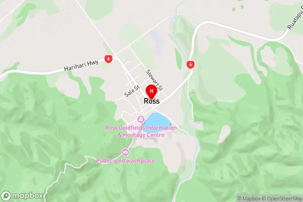
DonoghuesRoss Area Map (Street)
Local Authority
Westland DistrictFull Address
Ross, Westland District, New ZealandAddress Type
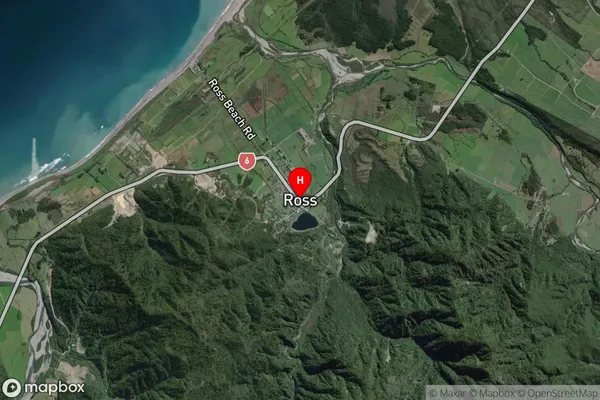
Suburb in Major Locality RossRoss Suburb Map (Satellite)
Country
Main Region in AU
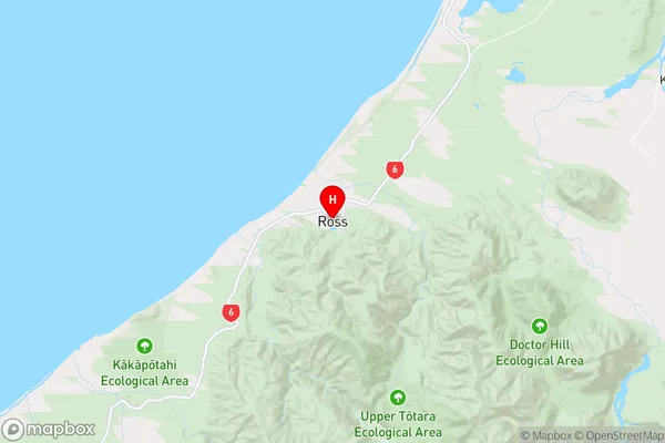
West CoastRoss Region Map
Coordinates
-42.8984706,170.8171563 (latitude/longitude)Distances
The distance from Ross, Ross, Westland District to NZ Top 10 Cities