Rosedale Area, Rosedale Postcode(0732) & Map in Rosedale
Rosedale Area, Rosedale Postcode(0732) & Map in Rosedale, Auckland, New Zealand
Rosedale, Auckland, New Zealand
Rosedale Area (estimated)
6.5 square kilometersRosedale Population (estimated)
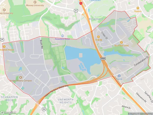
1202 people live in Rosedale, Upper Harbour, NZRosedale Suburb Area Map (Polygon)
Rosedale Introduction
Rosedale is a suburb in Auckland, New Zealand, with a population of around 11,000 people. It is located on the North Shore and is known for its beautiful beaches, lush gardens, and peaceful atmosphere. The area has a rich history and was once home to a prominent Maori tribe. Rosedale also has a variety of shopping centers, restaurants, and recreational facilities, including a golf course and a swimming pool.Region
Major City
Suburb Name
RosedaleOther Name(s)
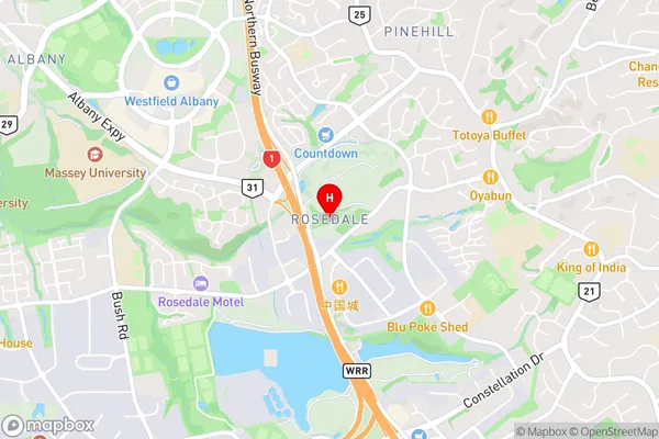
Sunset NorthRosedale Area Map (Street)
Local Authority
AucklandFull Address
Rosedale, Auckland, New ZealandAddress Type
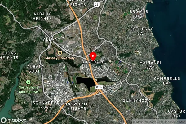
Suburb in City AucklandRosedale Suburb Map (Satellite)
Country
Main Region in AU
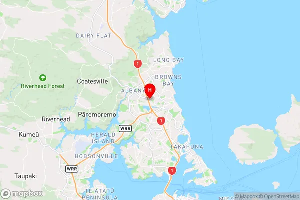
AucklandRosedale Region Map
Coordinates
-36.7370985,174.7209718 (latitude/longitude)Distances
The distance from Rosedale, Auckland, Auckland to NZ Top 10 Cities