Blue Spur Area, Blue Spur Postcode(7882) & Map in Blue Spur
Blue Spur Area, Blue Spur Postcode(7882) & Map in Blue Spur, Westland District, New Zealand
Blue Spur, Westland District, New Zealand
Blue Spur Postcodes
Blue Spur Area (estimated)
19.6 square kilometersBlue Spur Population (estimated)
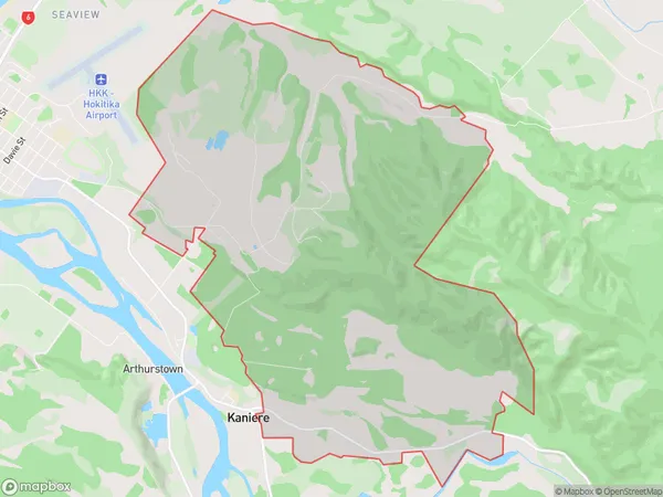
280 people live in Blue Spur, West Coast, NZBlue Spur Suburb Area Map (Polygon)
Blue Spur Introduction
Blue Spur is a popular hiking and tramping track in the West Coast region of New Zealand. It is located in the Hokitika Forest Park and offers stunning views of the surrounding area, including the Southern Alps. The track is well-marked and suitable for beginners and experienced hikers alike. It can be completed in a day or overnight, and there are several camping sites along the way.Region
Major City
Suburb Name
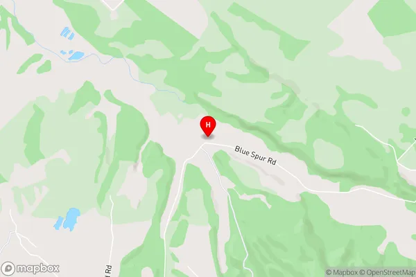
Blue SpurBlue Spur Area Map (Street)
Local Authority
Westland DistrictFull Address
Blue Spur, Westland District, New ZealandAddress Type
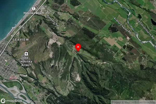
Suburb in Town HokitikaBlue Spur Suburb Map (Satellite)
Country
Main Region in AU
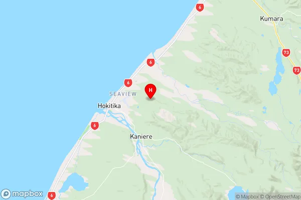
West CoastBlue Spur Region Map
Coordinates
-42.712051,171.0212302 (latitude/longitude)Distances
The distance from Blue Spur, Hokitika, Westland District to NZ Top 10 Cities