Rosebery Area, Rosebery Postcode(9492) & Map in Rosebery
Rosebery Area, Rosebery Postcode(9492) & Map in Rosebery, Waitaki District, New Zealand
Rosebery, Waitaki District, New Zealand
Rosebery Postcodes
Rosebery Area (estimated)
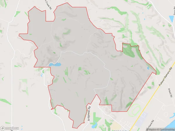
26.8 square kilometersRosebery Population (estimated)
53 people live in Rosebery, Otago, NZRosebery Suburb Area Map (Polygon)
Rosebery Introduction
Rosebery is a small town in Otago, New Zealand, located on the banks of the Oamaru River. It is known for its historic buildings, including the Rosebery Hotel, which was built in 1877. The town also has a popular golf course and a variety of recreational facilities, including a swimming pool and tennis courts.Region
Major City
Suburb Name
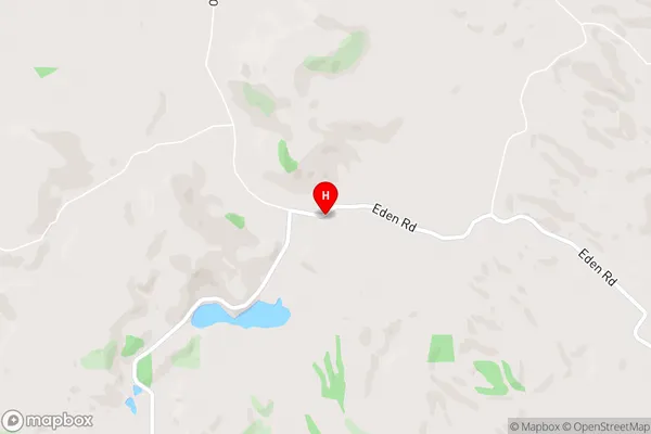
RoseberyRosebery Area Map (Street)
Local Authority
Waitaki DistrictFull Address
Rosebery, Waitaki District, New ZealandAddress Type
Locality in Town OamaruRosebery Suburb Map (Satellite)

Country
Main Region in AU
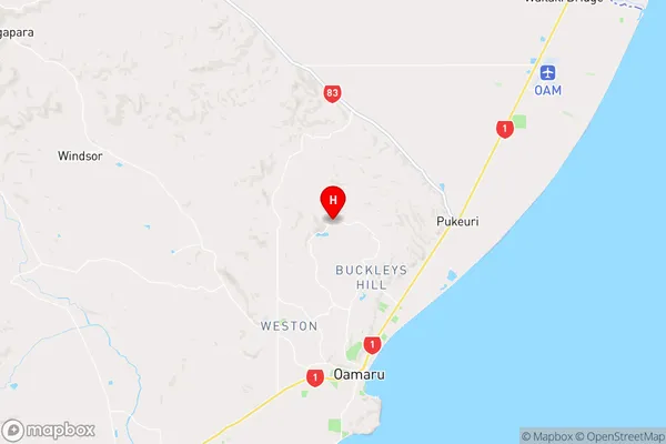
OtagoRosebery Region Map
Coordinates
-45.0332559,170.9523154 (latitude/longitude)Distances
The distance from Rosebery, Oamaru, Waitaki District to NZ Top 10 Cities