Robin Hood Bay Area, Robin Hood Bay Postcode & Map in Robin Hood Bay
Robin Hood Bay Area, Robin Hood Bay Postcode & Map in Robin Hood Bay, Marlborough District, New Zealand
Robin Hood Bay, Marlborough District, New Zealand
Robin Hood Bay Area (estimated)
10.0 square kilometersRobin Hood Bay Population (estimated)
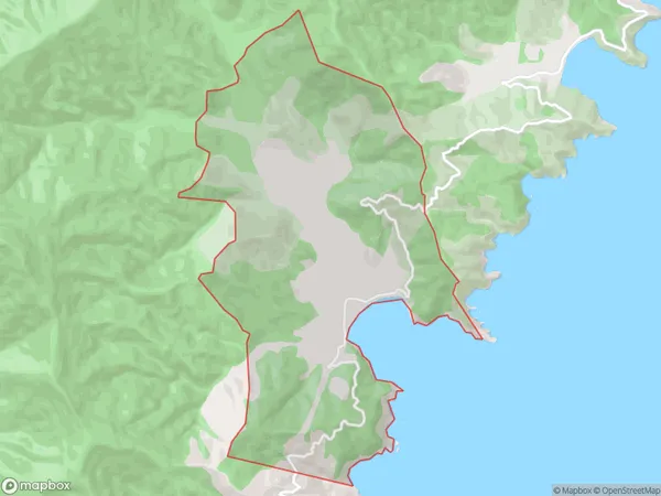
1 people live in Robin Hood Bay, Marlborough, NZRobin Hood Bay Suburb Area Map (Polygon)
Robin Hood Bay Introduction
Robin Hood Bay is a picturesque coastal village located in Blenheim, Marlborough, New Zealand. It is known for its stunning sandy beaches, clear turquoise waters, and picturesque scenery. The bay is a popular destination for tourists and locals alike, with many activities to enjoy such as swimming, snorkeling, kayaking, and fishing. The village also has a number of restaurants, cafes, and shops, as well as a hotel and motel.Region
Major City
Suburb Name
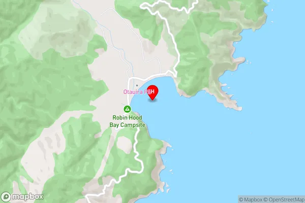
Robin Hood BayRobin Hood Bay Area Map (Street)
Local Authority
Marlborough DistrictFull Address
Robin Hood Bay, Marlborough District, New ZealandAddress Type
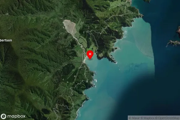
Locality in Town BlenheimRobin Hood Bay Suburb Map (Satellite)
Country
Main Region in AU
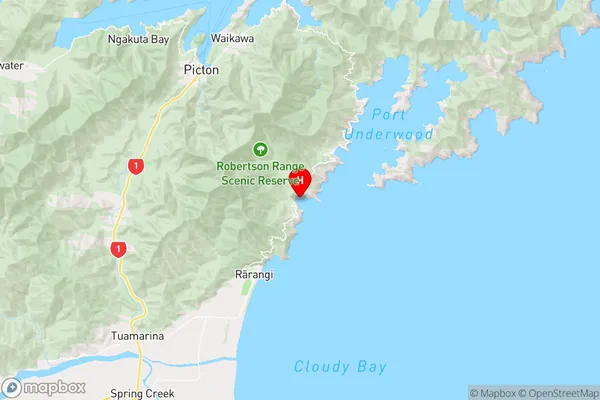
MarlboroughRobin Hood Bay Region Map
Coordinates
-41.35804,174.0746782 (latitude/longitude)Distances
The distance from Robin Hood Bay, Blenheim, Marlborough District to NZ Top 10 Cities