Riverdale Area, Riverdale Postcode(4010) & Map in Riverdale
Riverdale Area, Riverdale Postcode(4010) & Map in Riverdale, Gisborne District, New Zealand
Riverdale, Gisborne District, New Zealand
Riverdale Postcodes
Riverdale Area (estimated)
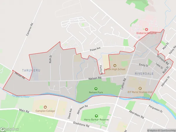
1.8 square kilometersRiverdale Population (estimated)
1435 people live in Riverdale, Gisborne, NZRiverdale Suburb Area Map (Polygon)
Riverdale Introduction
Riverdale is a small rural community in Gisborne, New Zealand, located on the banks of the Tairawhiti River. It is known for its beautiful natural surroundings, including lush forests, farmland, and scenic views. The community has a strong sense of community and a variety of recreational facilities, including a golf course, a swimming pool, and a sports club. Riverdale is a popular destination for tourists and locals alike, with its peaceful atmosphere and close proximity to the city of Gisborne.Region
Major City
Suburb Name
RiverdaleOther Name(s)
MatokitokiRiverdale Area Map (Street)
Local Authority
Gisborne DistrictFull Address
Riverdale, Gisborne District, New ZealandAddress Type
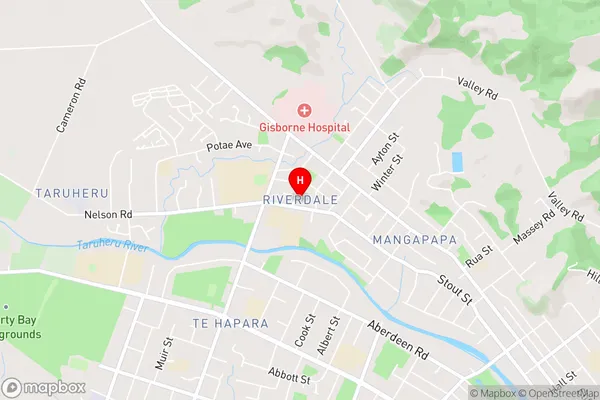
Suburb in Town GisborneRiverdale Suburb Map (Satellite)

Country
Main Region in AU
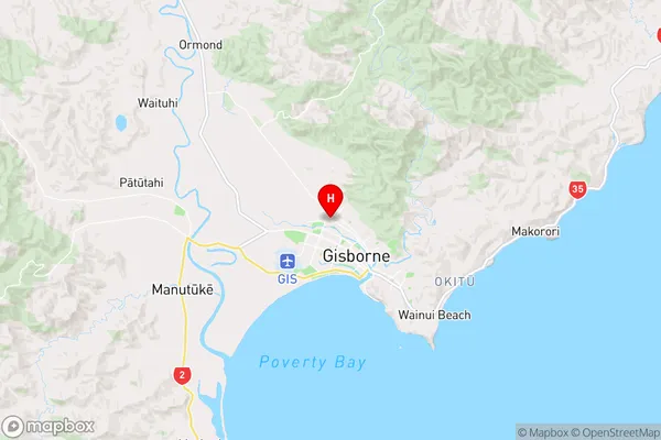
GisborneRiverdale Region Map
Coordinates
-38.643859,178.004618 (latitude/longitude)Distances
The distance from Riverdale, Gisborne, Gisborne District to NZ Top 10 Cities